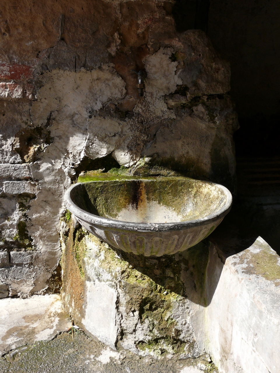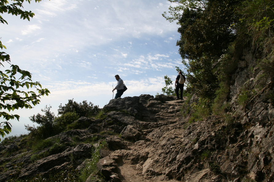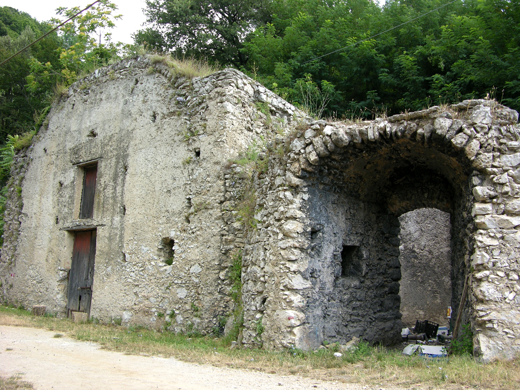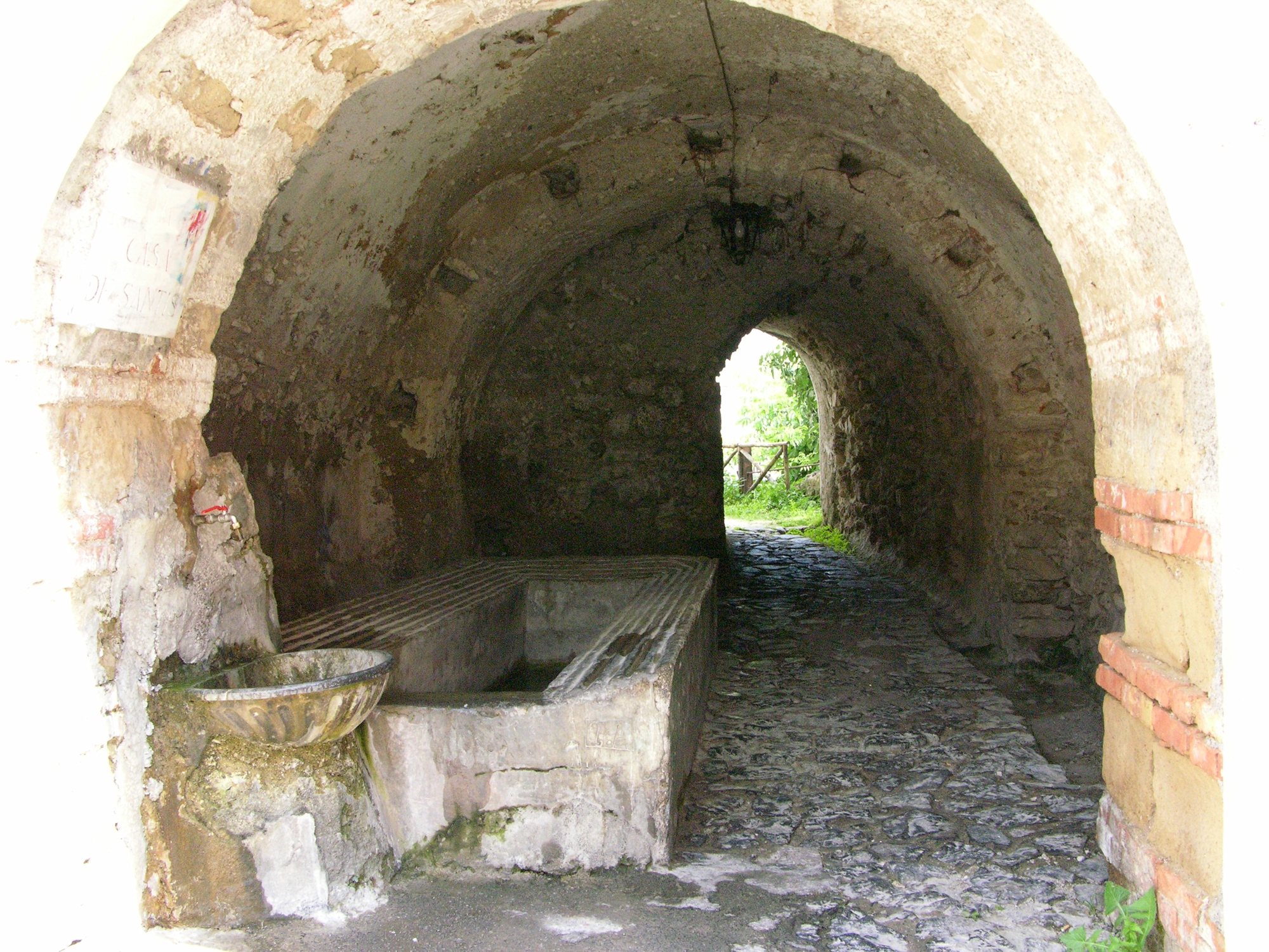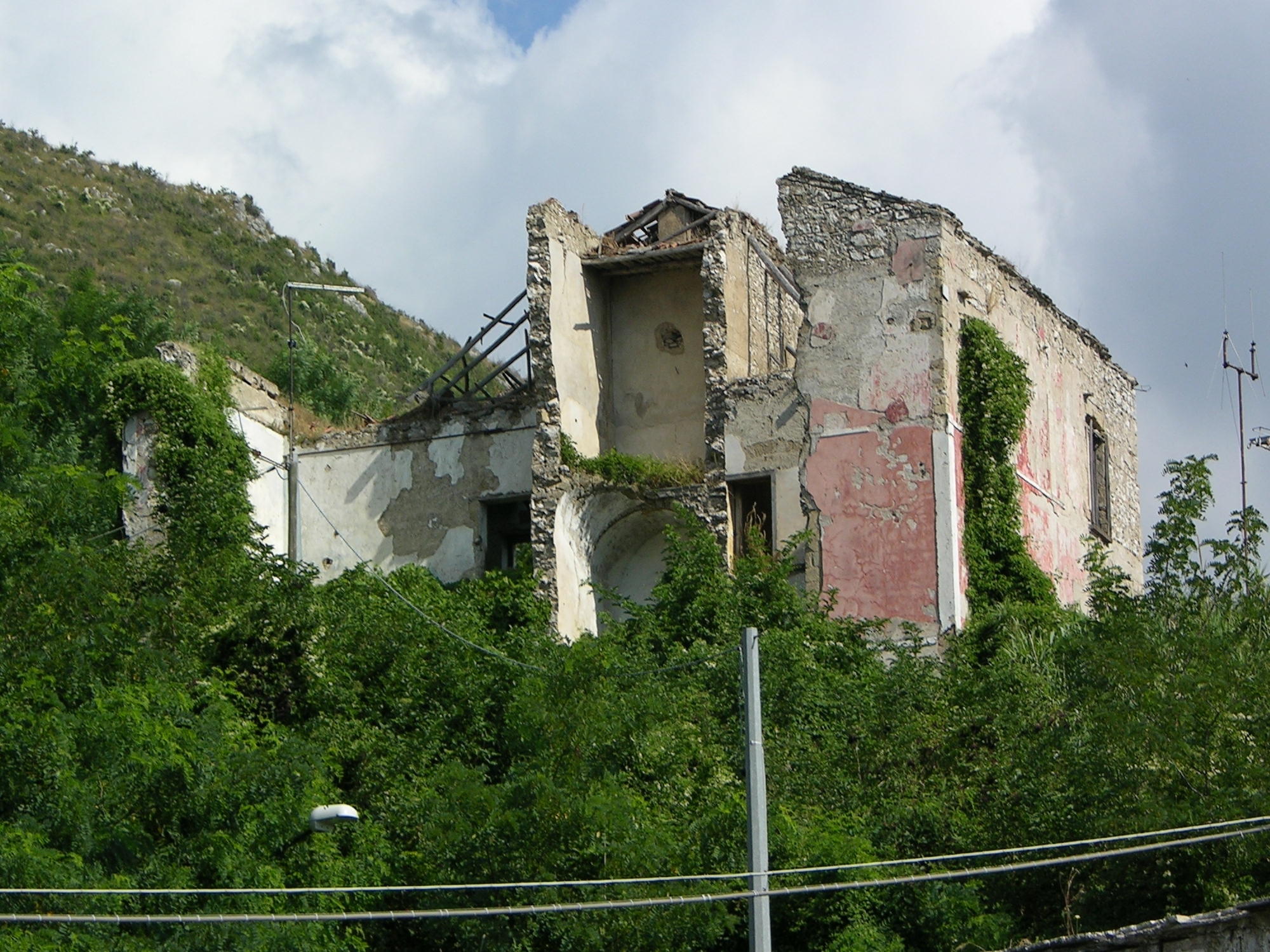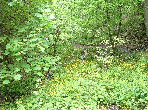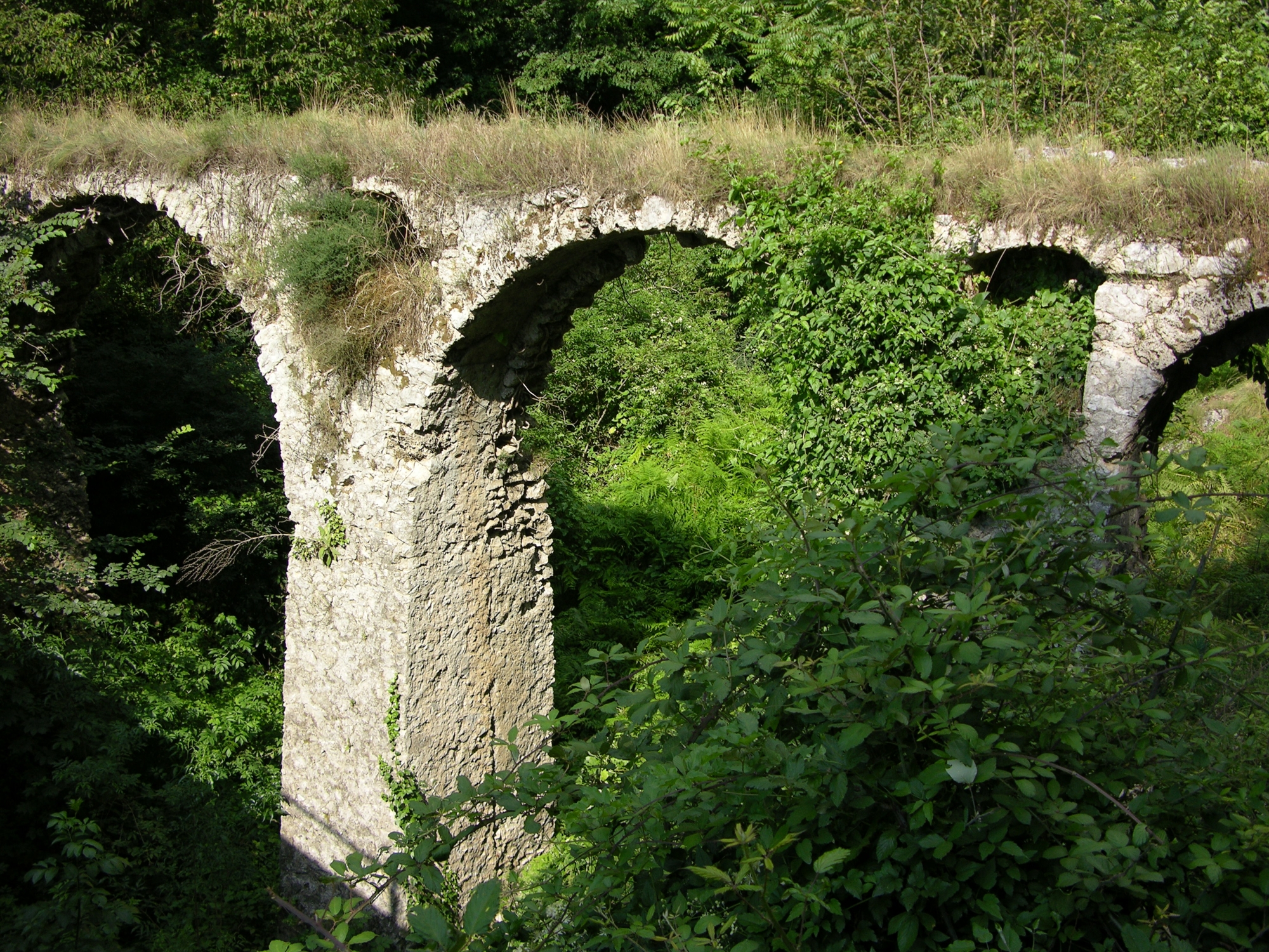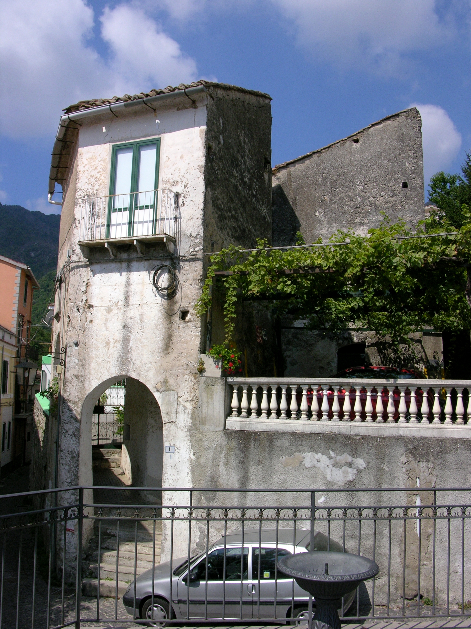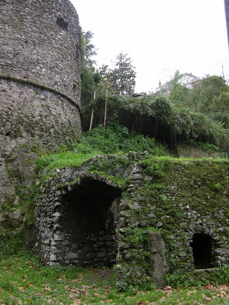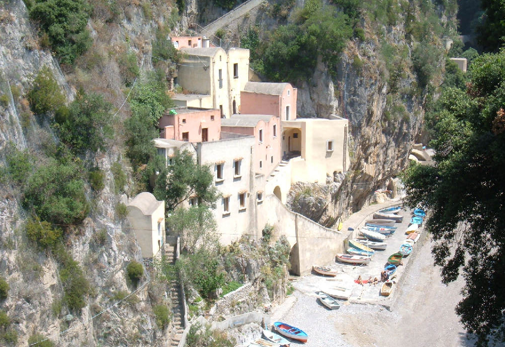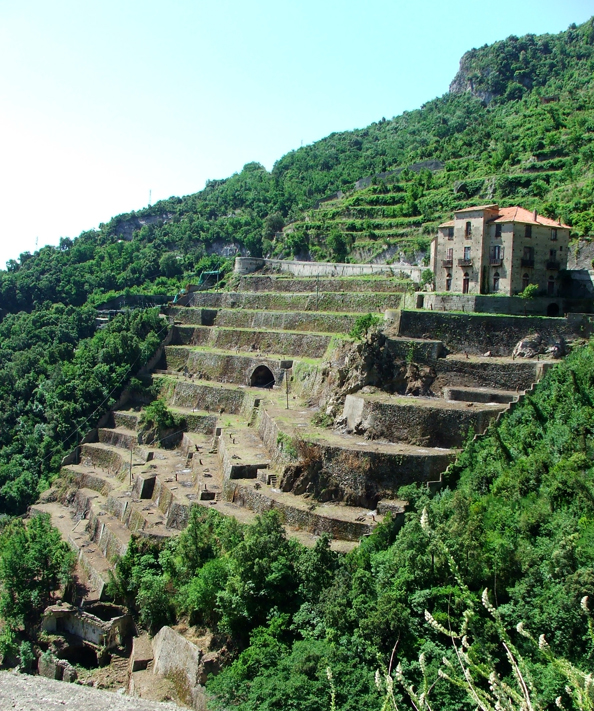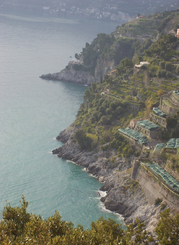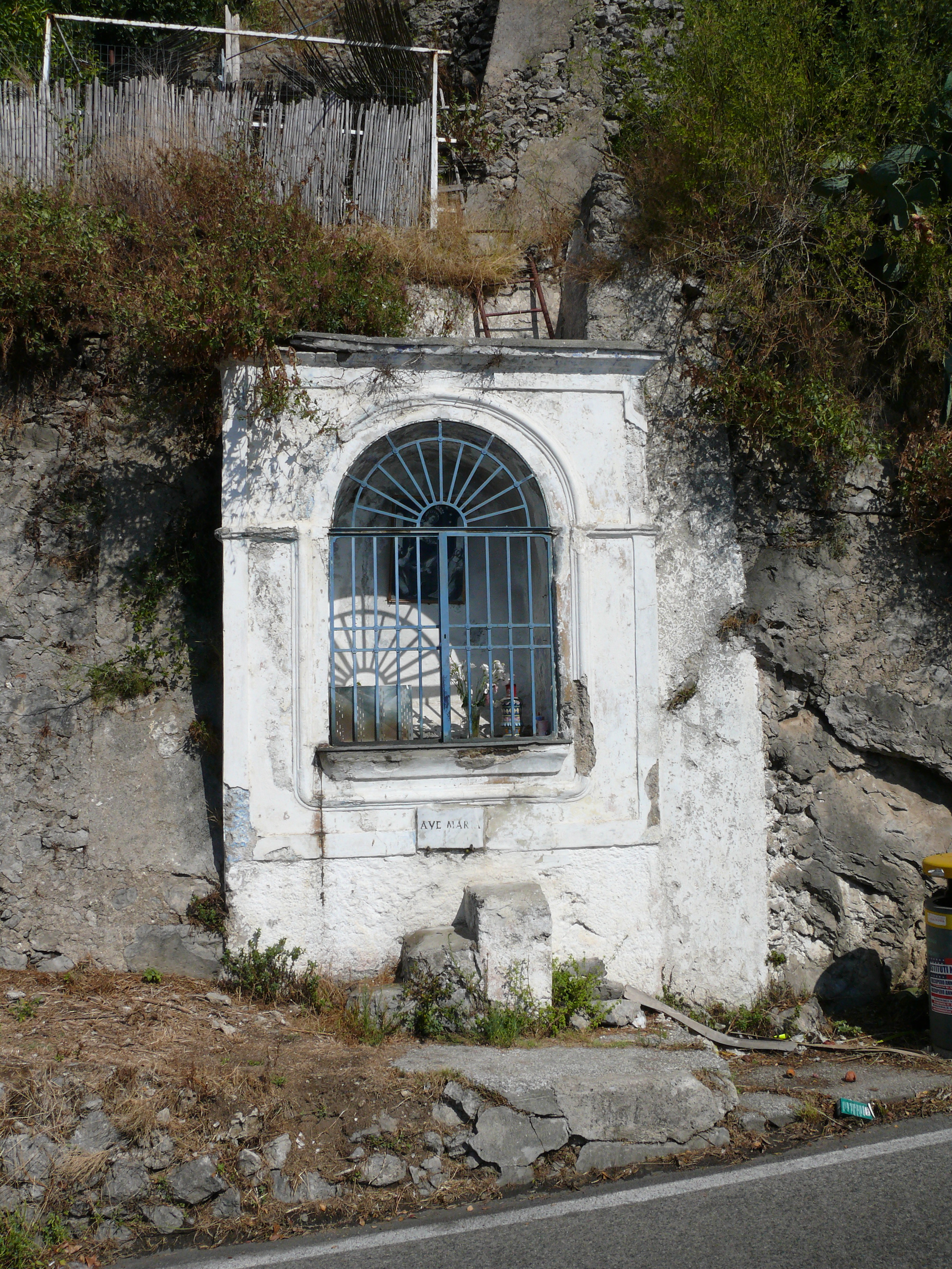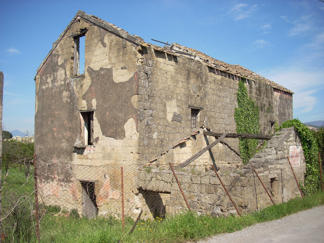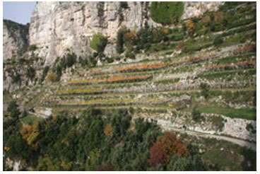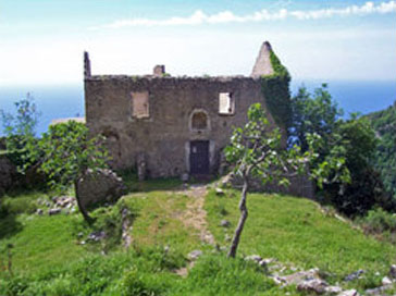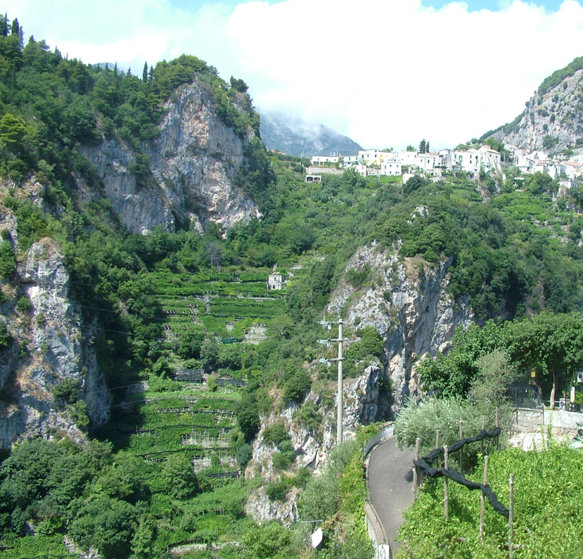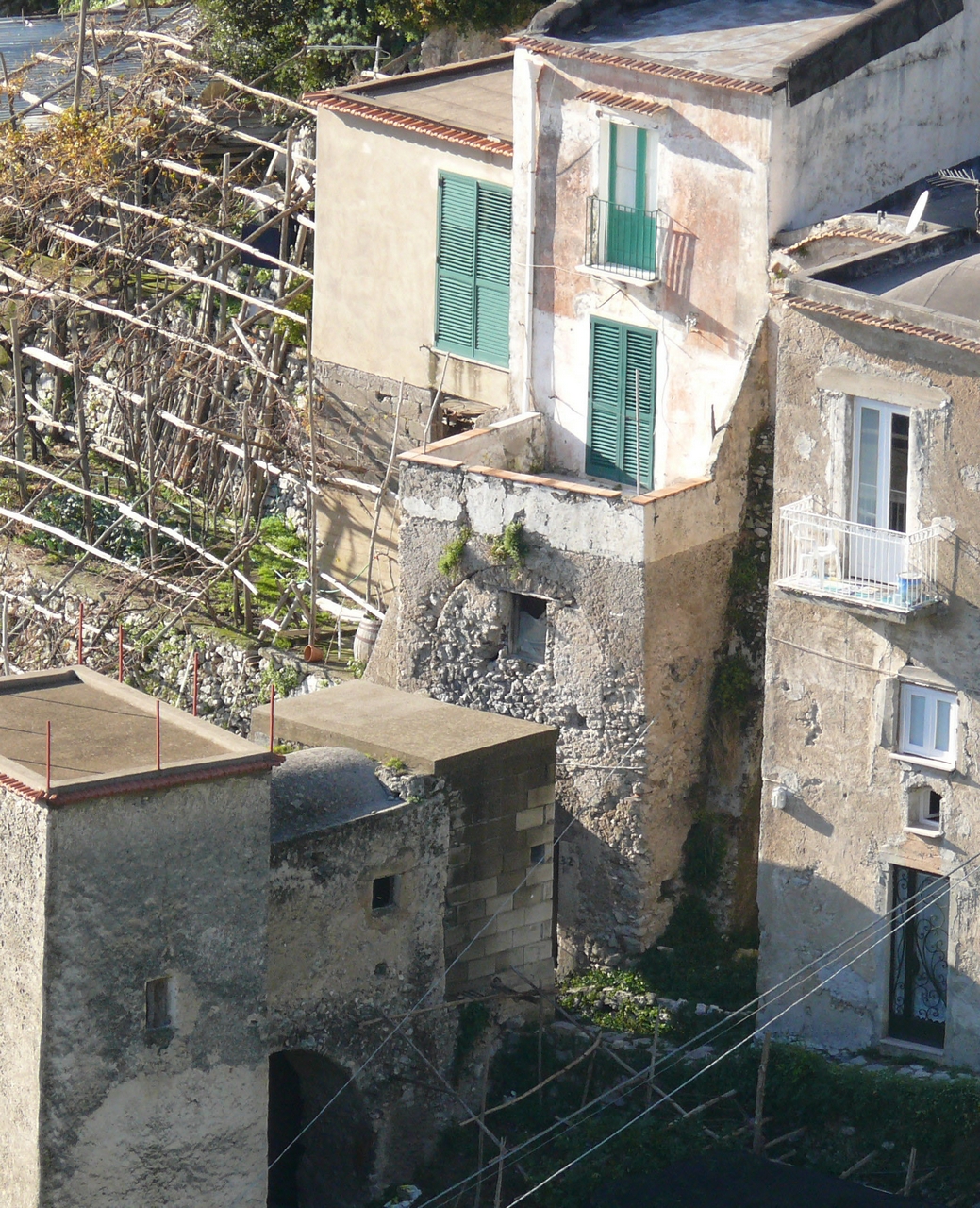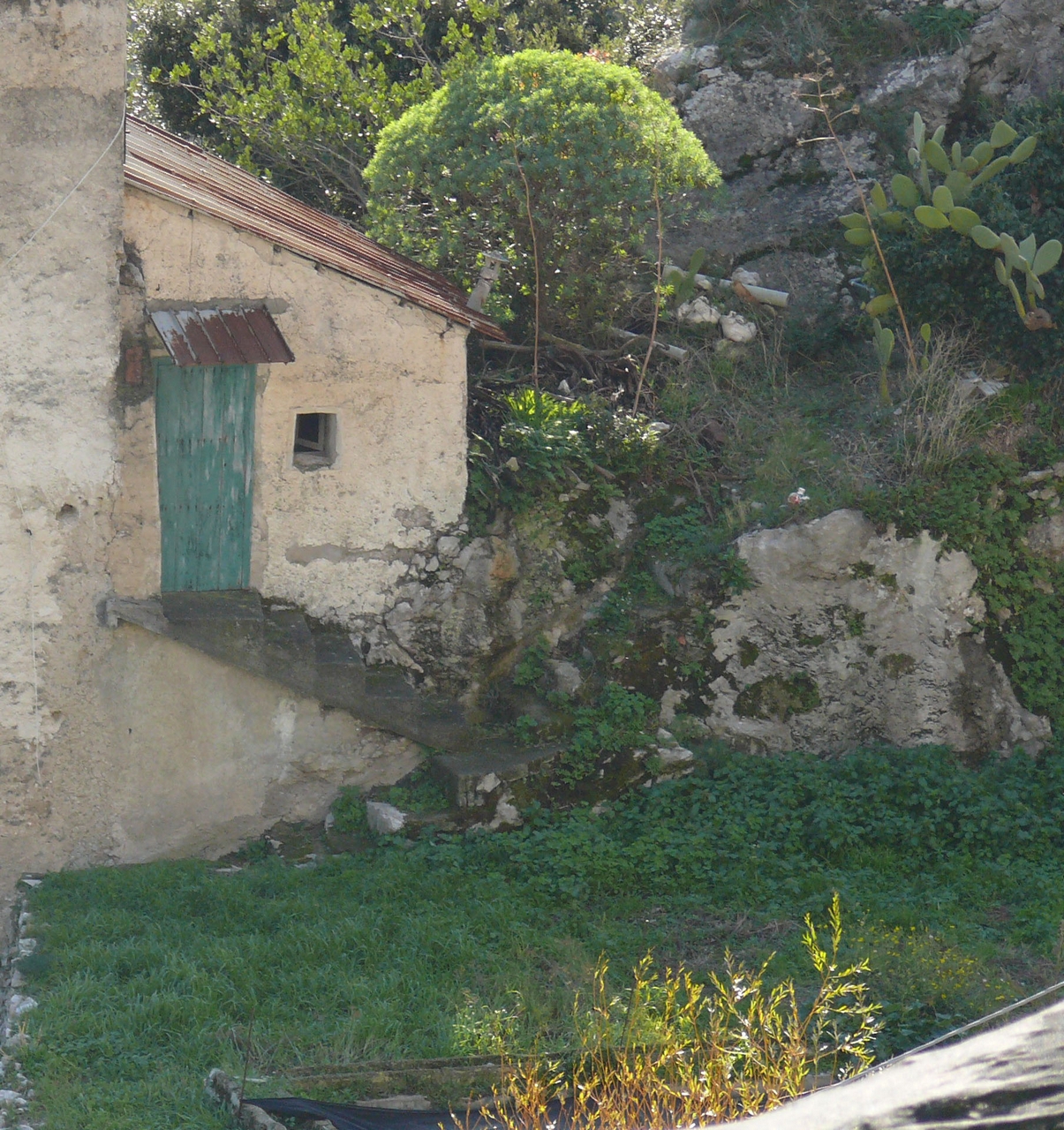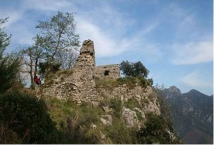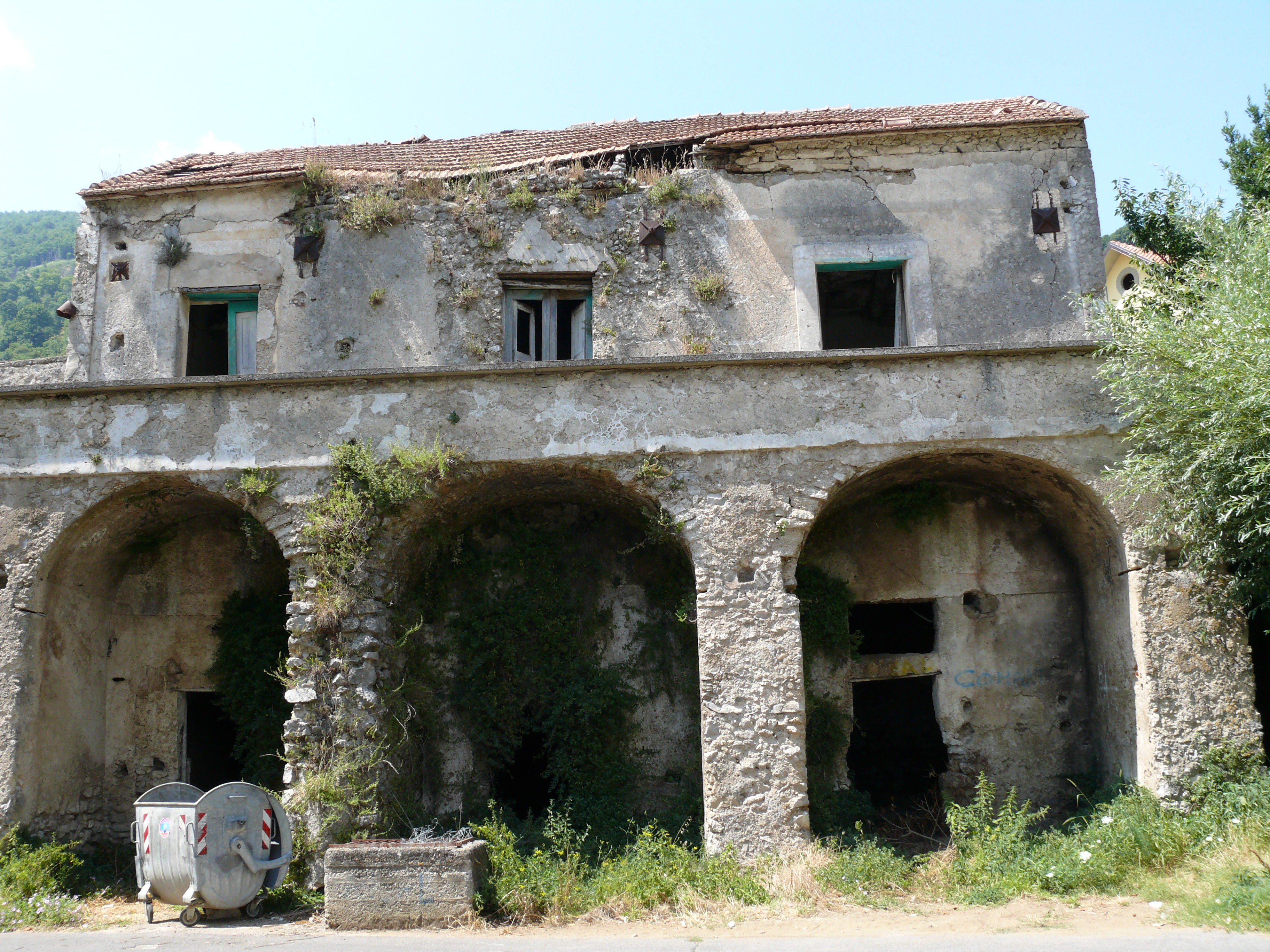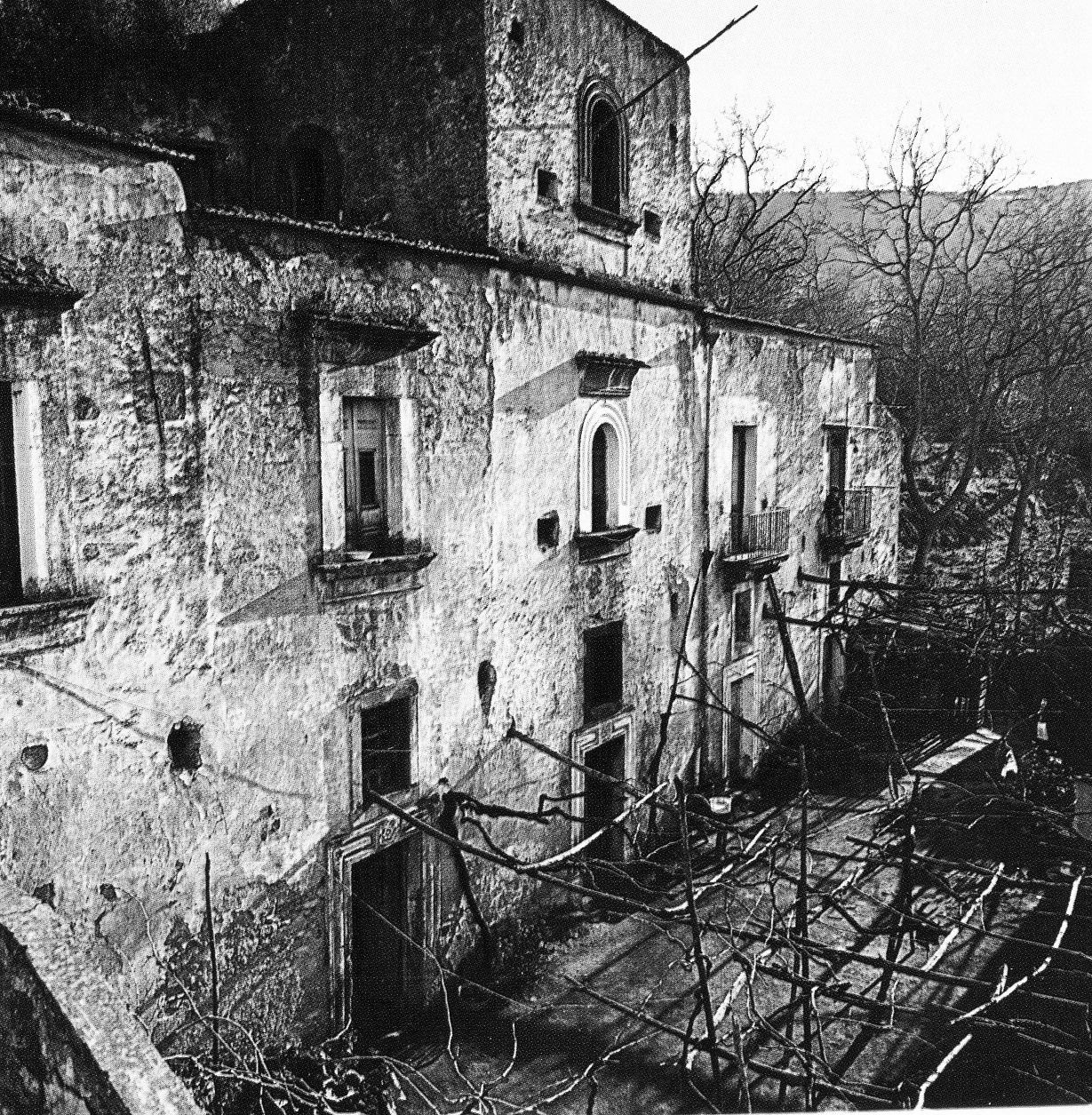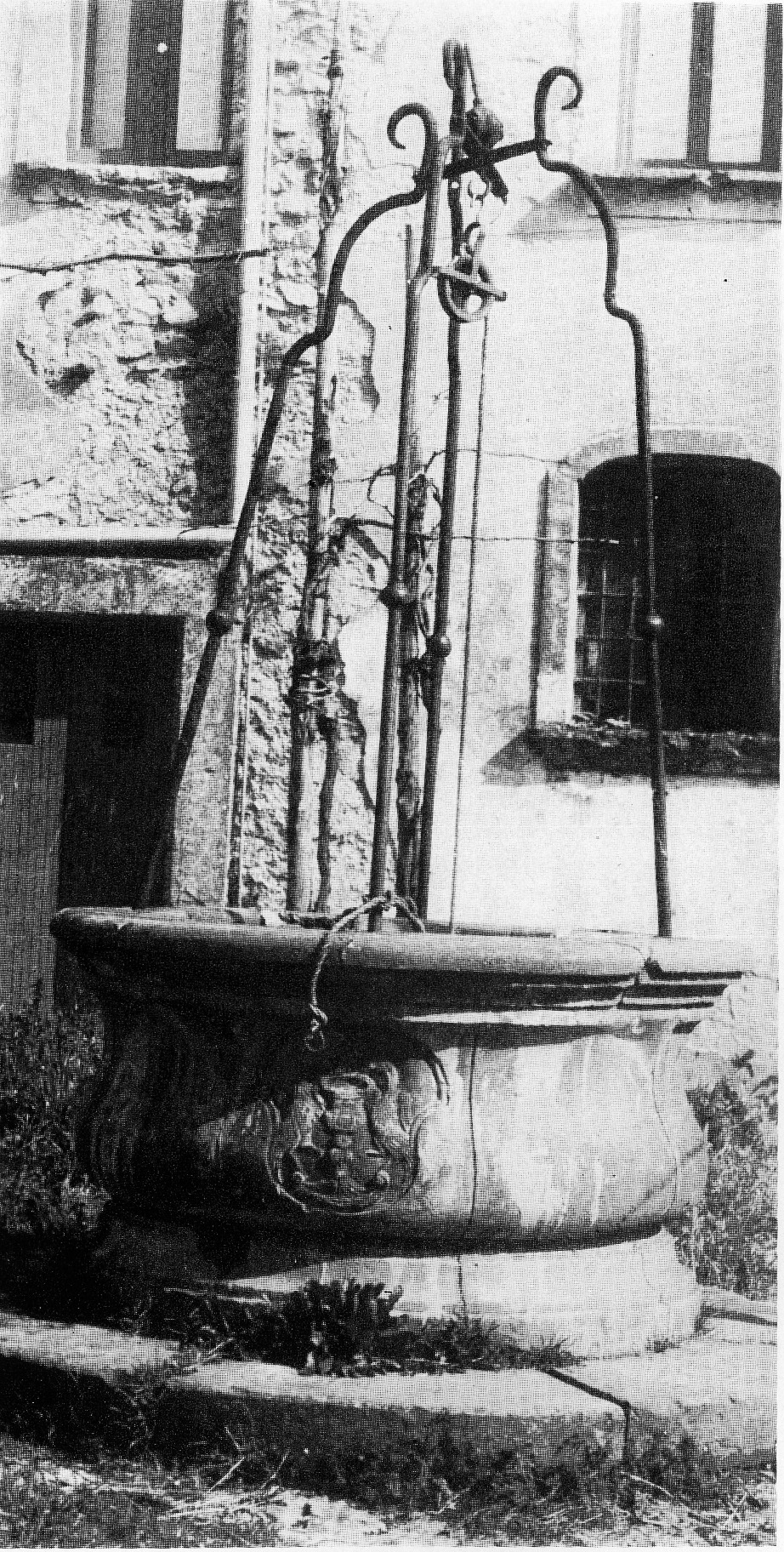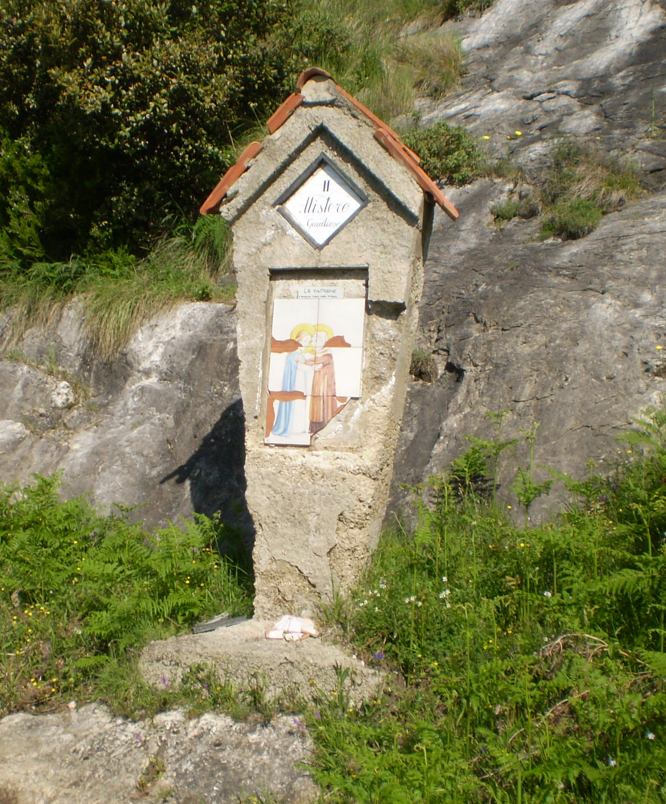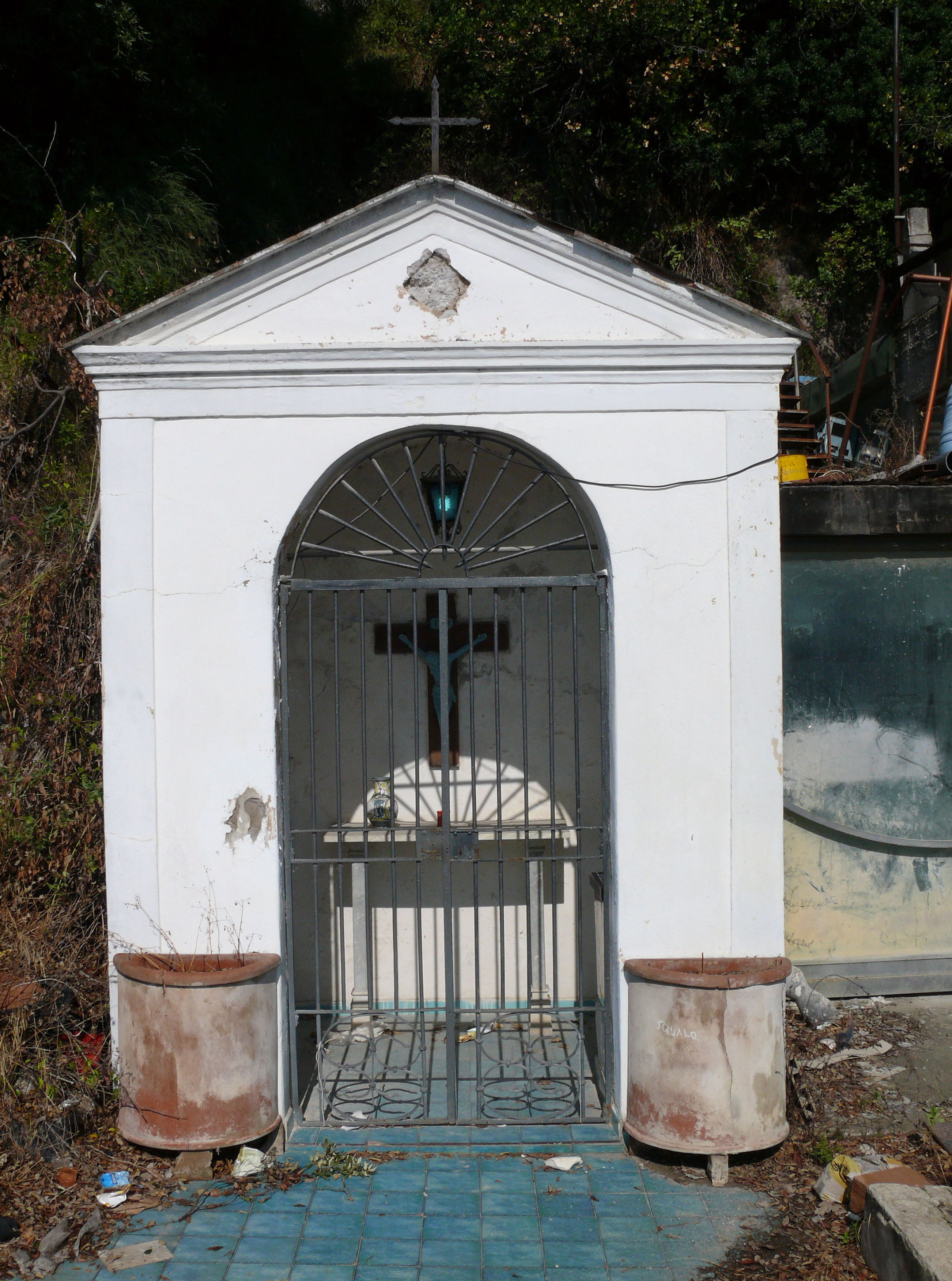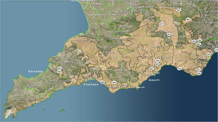
The Parco Regionale dei Monti Lattari (regional park) (go to the link) covers an area of about 39536.82 acres and embraces the whole Sorrentine peninsula and Amalfi coast with their highest peaks of Sant’Angelo a Tre Pizzi and Monte Faito. The area is physically delimited by the Gulf of Salerno, the "Angro Nocerino-Sarnese" plain and the Gulf of Naples. It includes some of the most attractive touristic places in Campania, such as Positano, Amalfi and Ravello. This territory is characterized by many touristic and property emergencies and it is plenty of very important historical centres, that witness the deep-rooted presence of the man, but is also plenty of environmental peculiarities like the close association between two apparently contradictory elements: mountain and sea. The Parco Regionale dei Monti Lattari (regional park) offers one of the widest range of hiking trails in the Apennines. The tight network of paths allows you to test the coexistence of mountain and sea, that is very close in this territory like no other place. Most part of the mountains has steep mountainsides that often plunge into veritable rock faces. The paths always curl along very charming landscapes. The peninsula morphology makes it possible to see both gulfs of Naples and Salerno in many different trails. The census has concerned an area of about the 70% of the park’s territory which the following cities belong to: Cava de’Tirreni, Scala, Ravello, Tramonti, Vico Equense, Vietri sul Mare, Furore, Maiori, Minori, Nocera Inferiore, Postano, and Praiano.
|