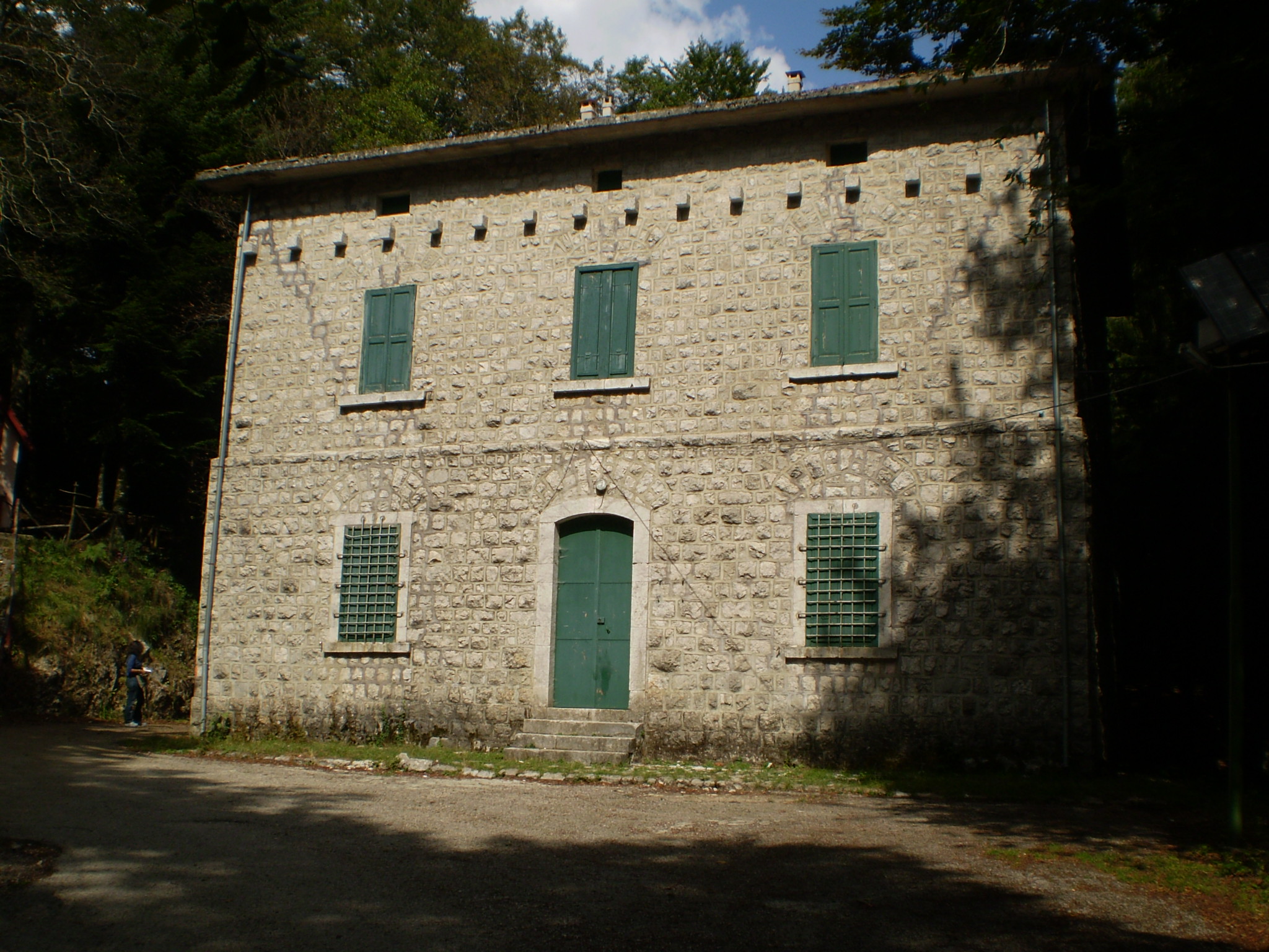
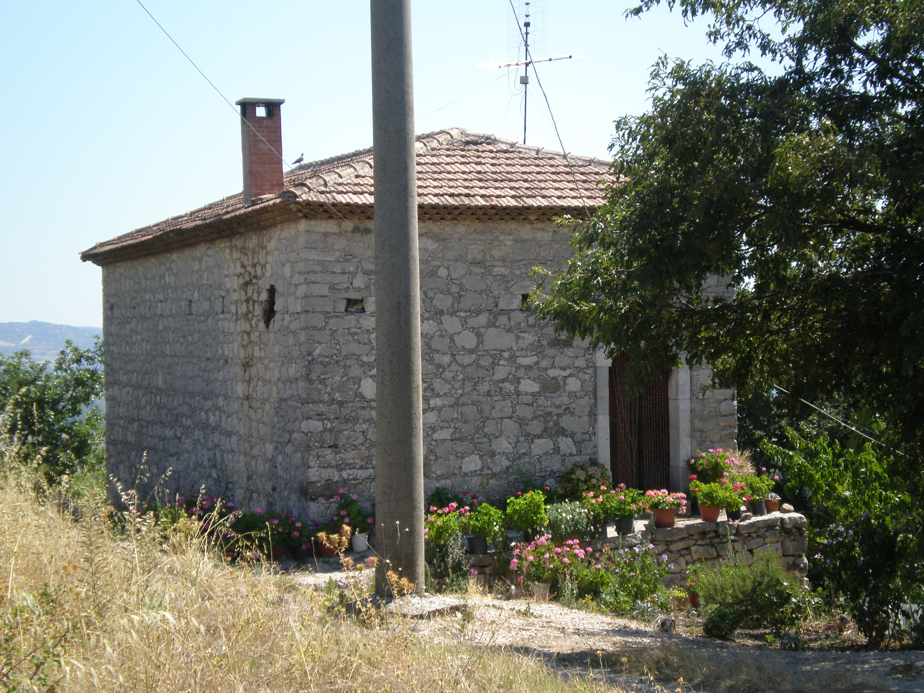
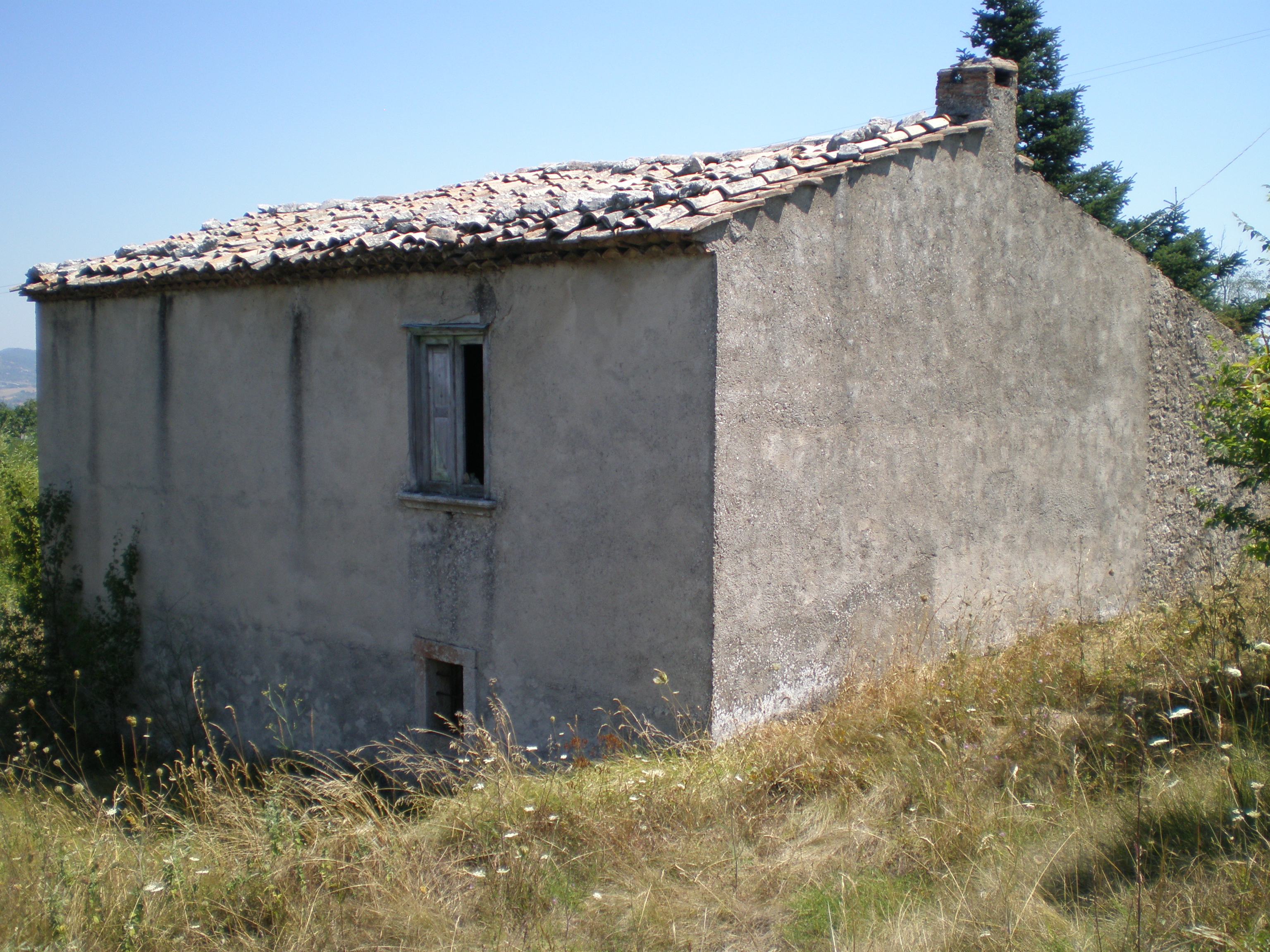
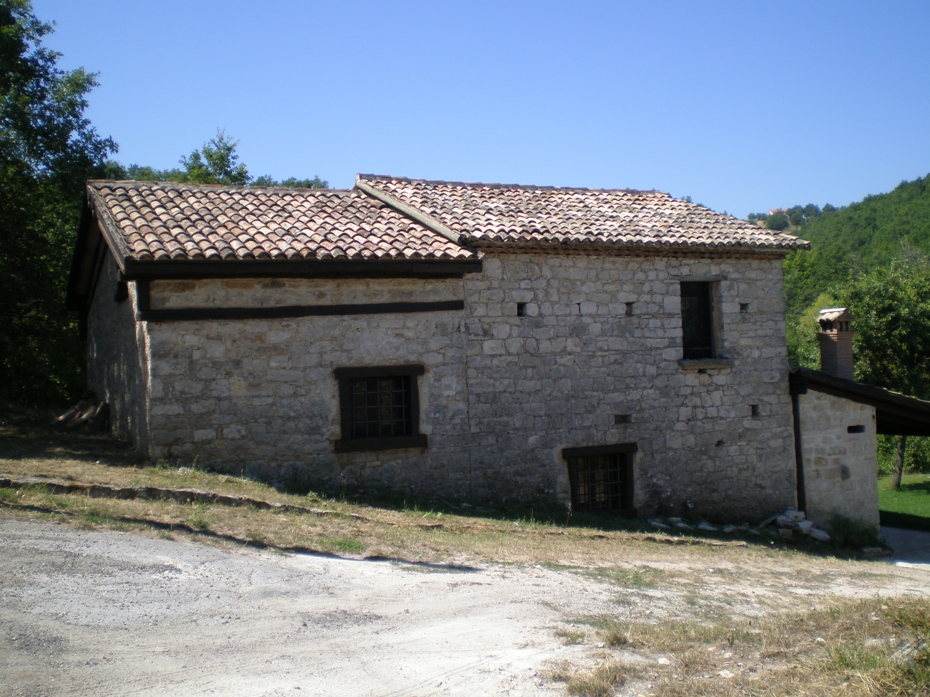
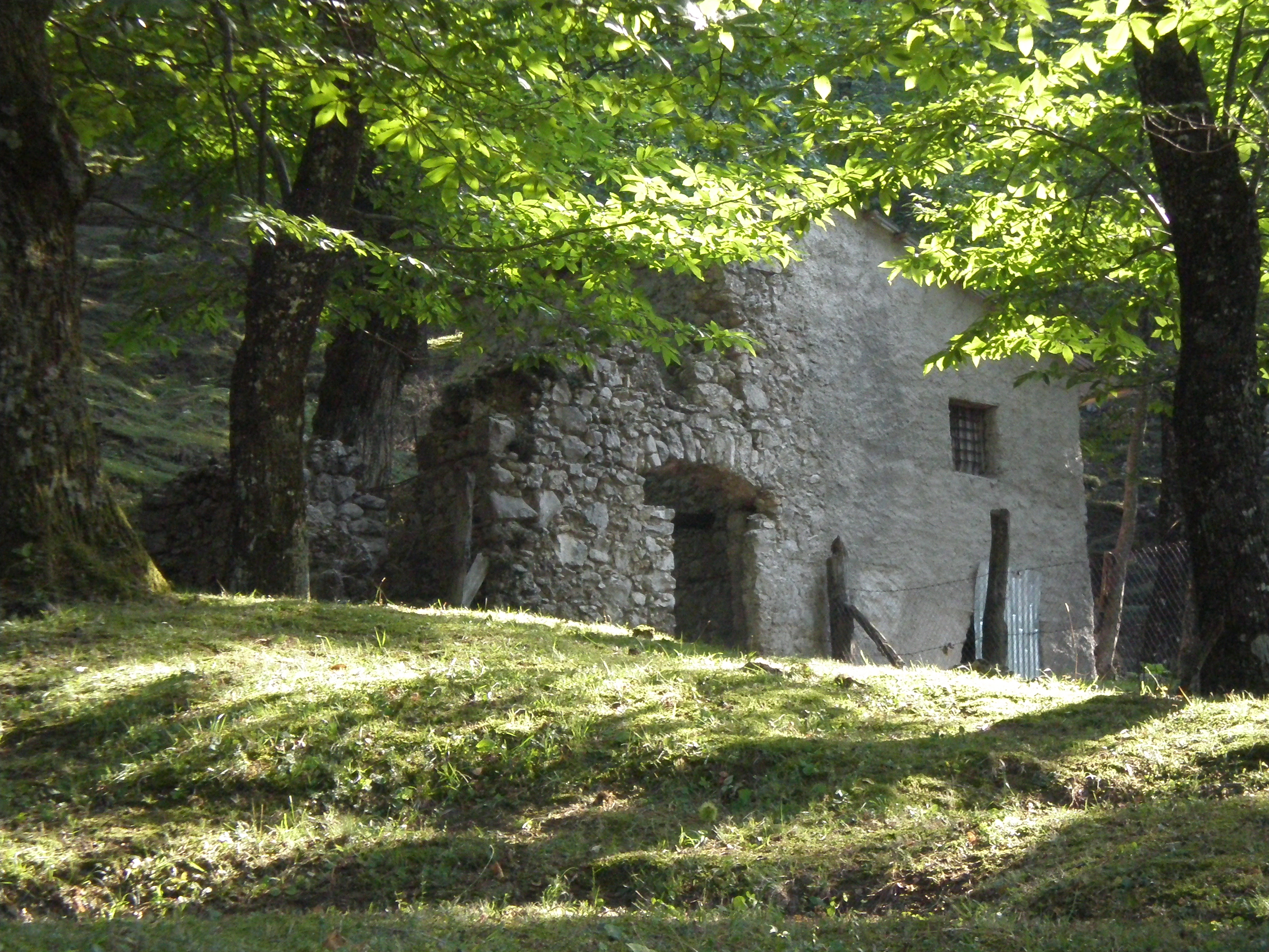
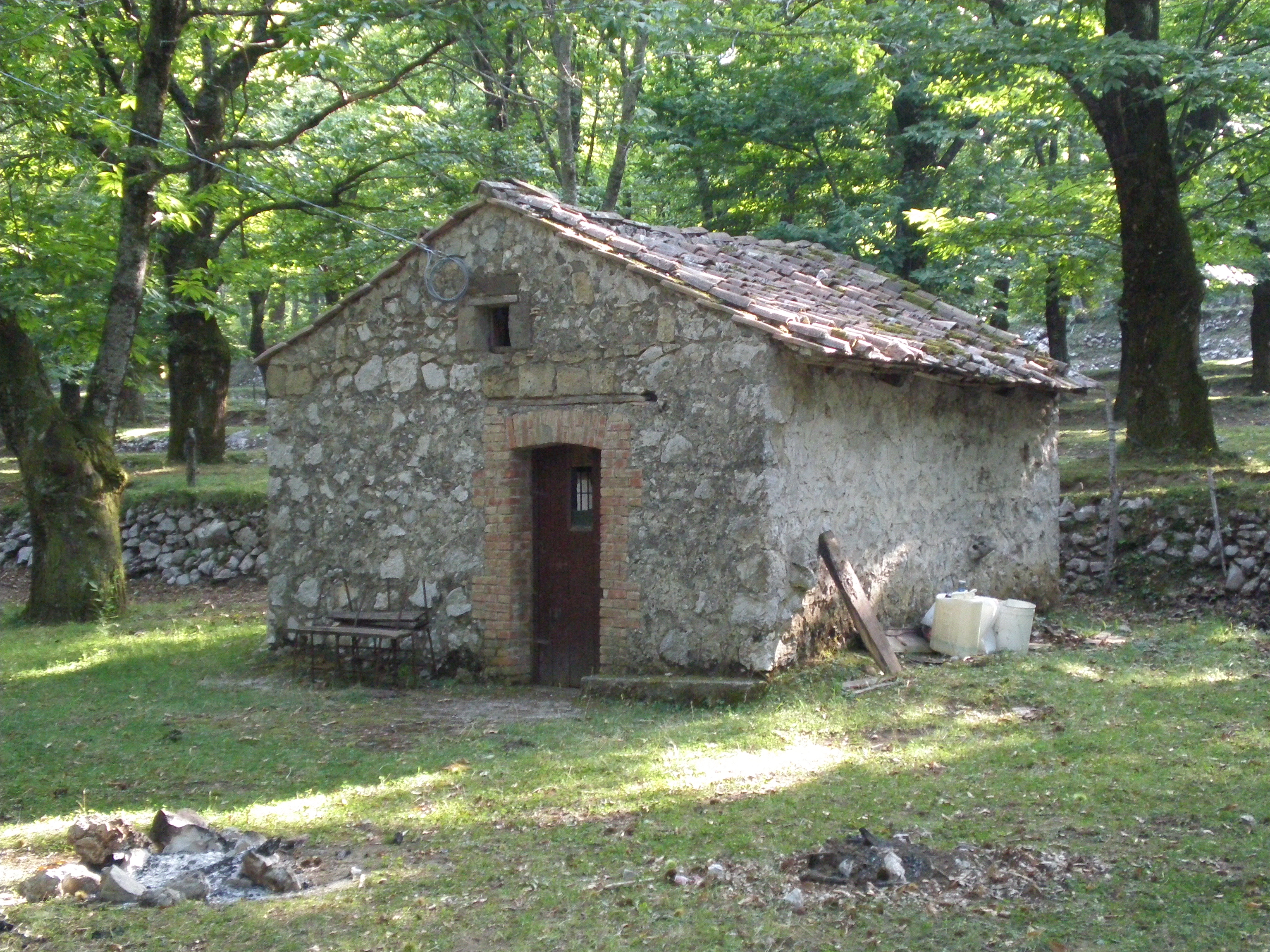
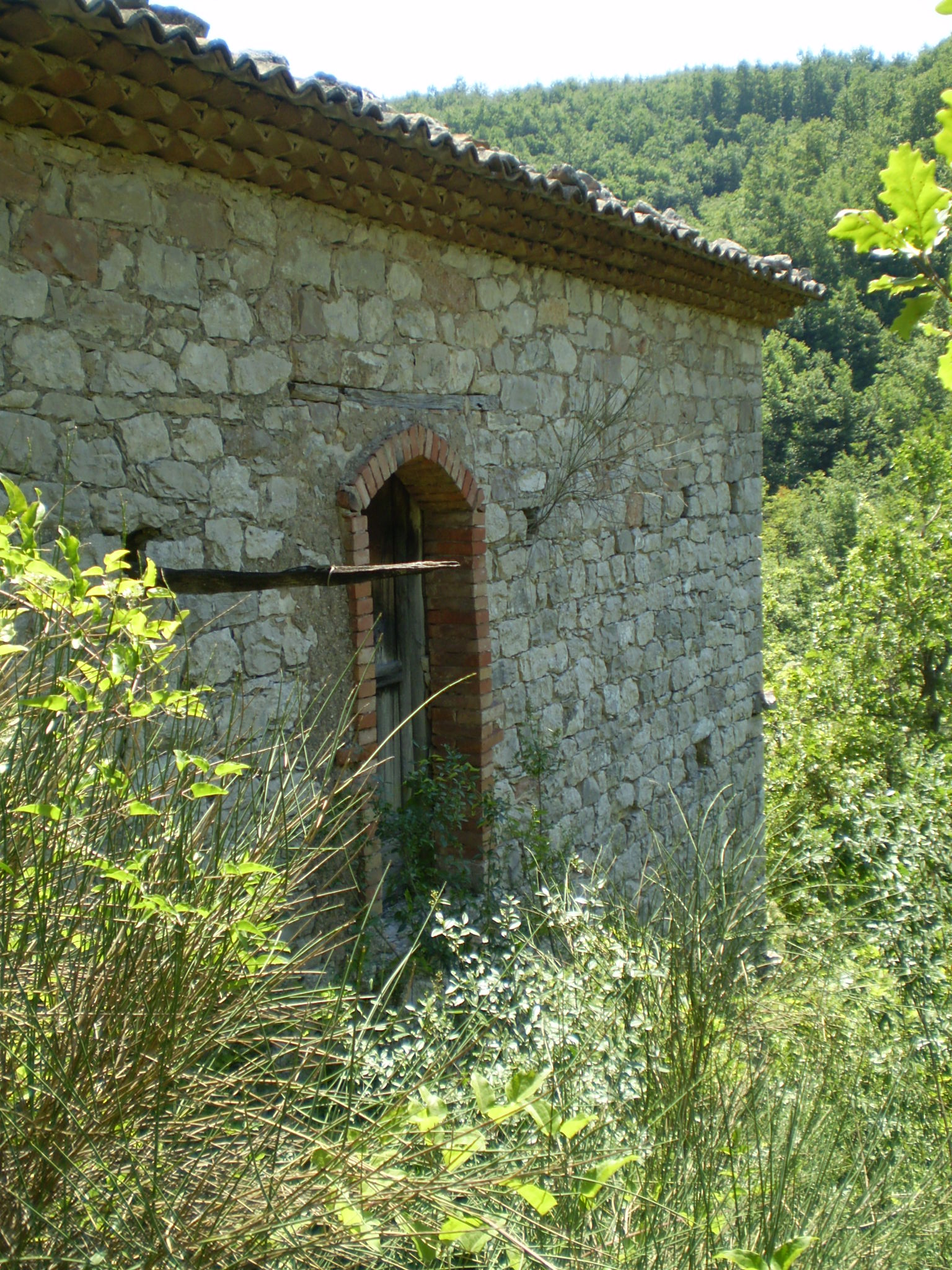
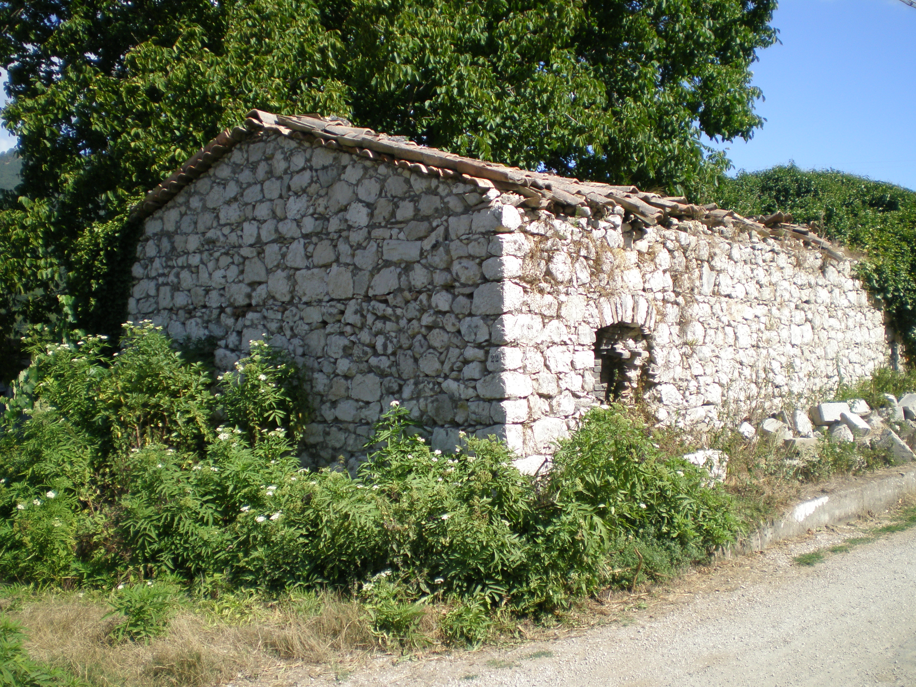
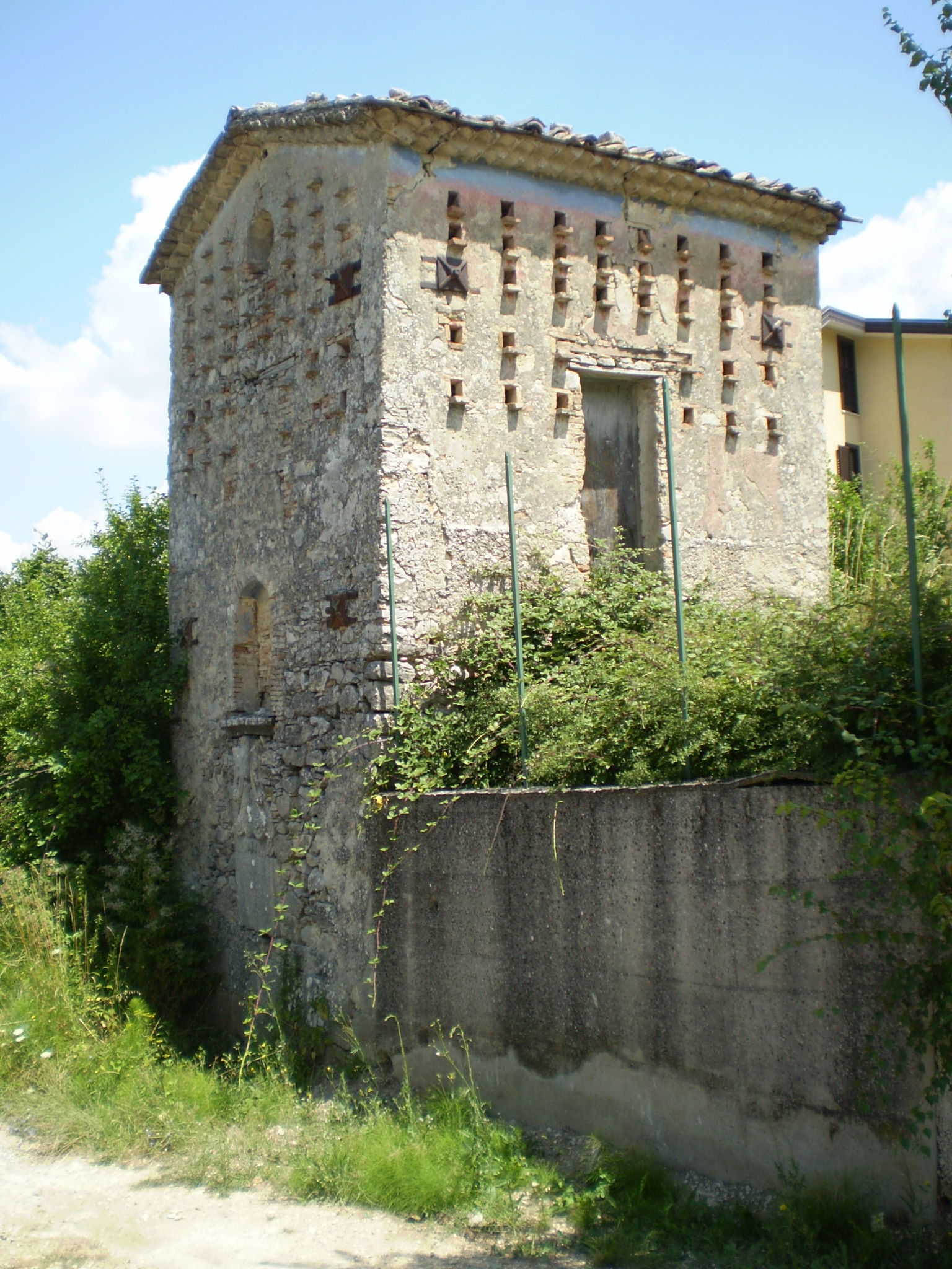
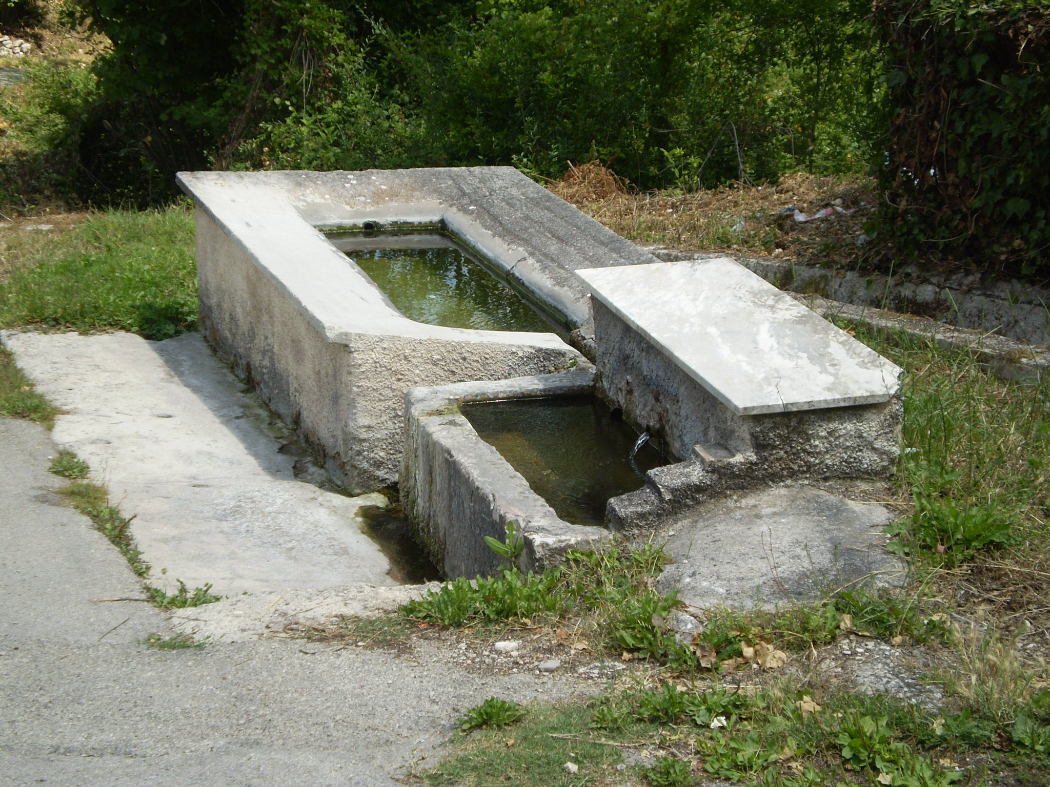
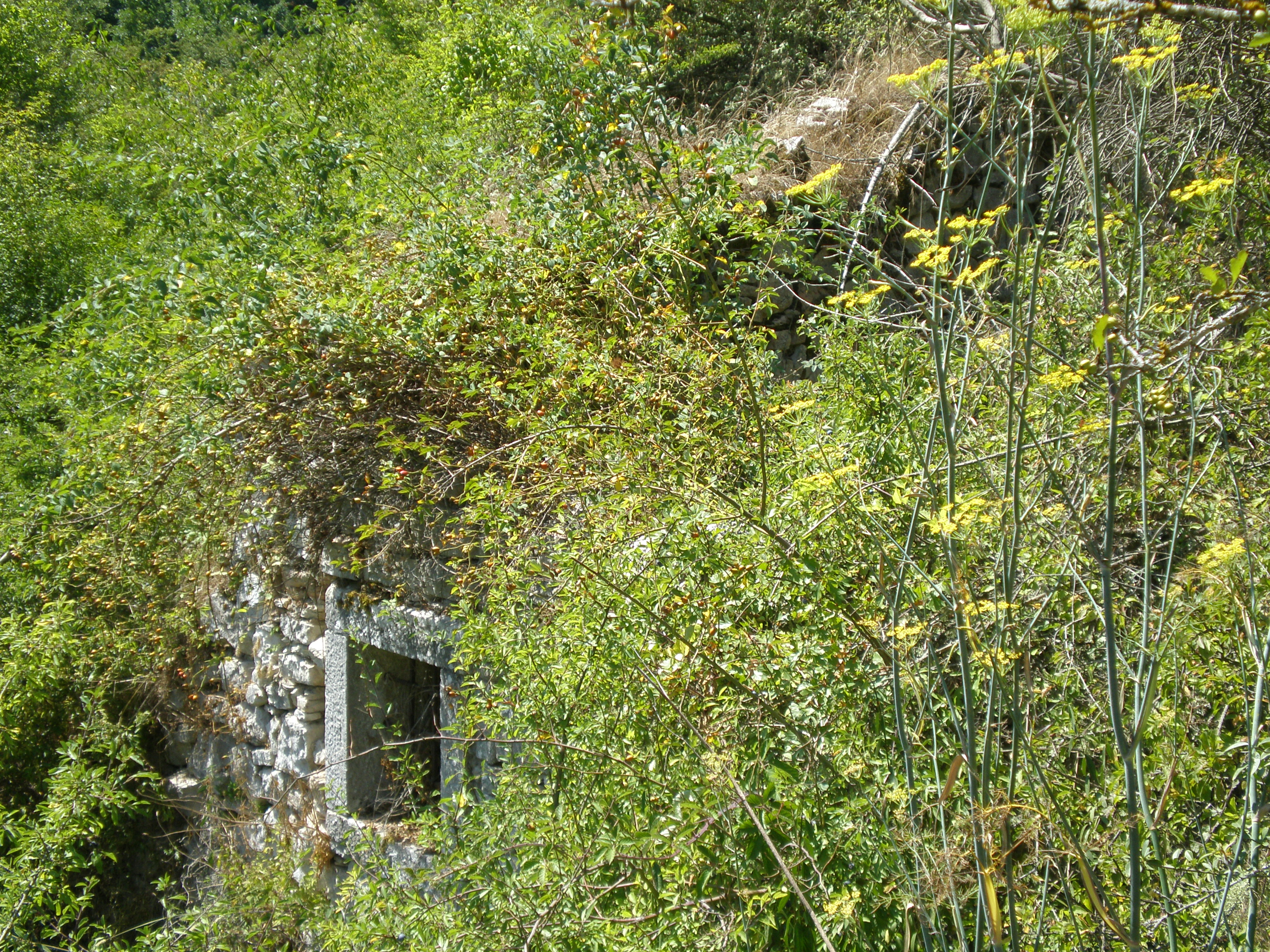
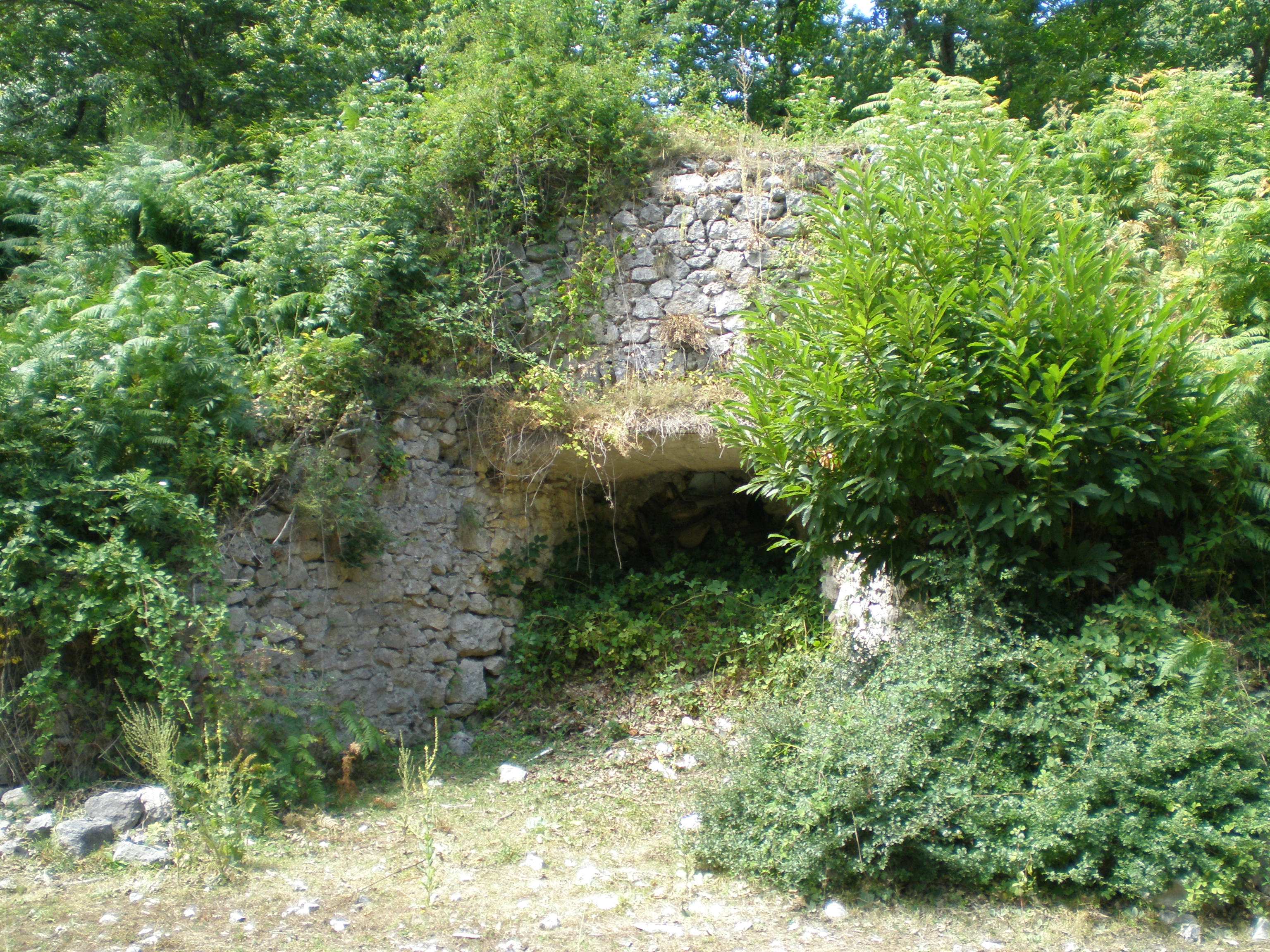
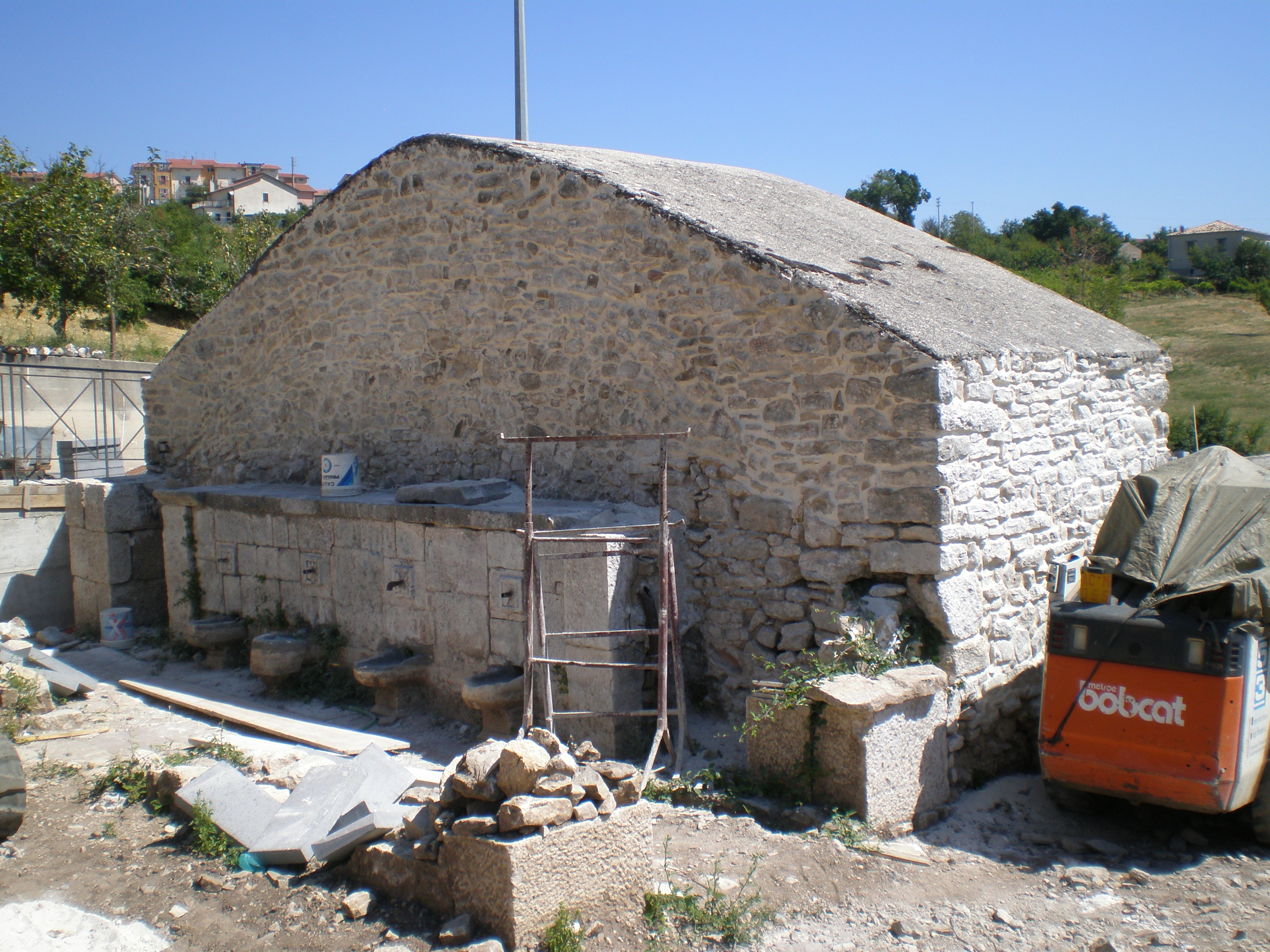
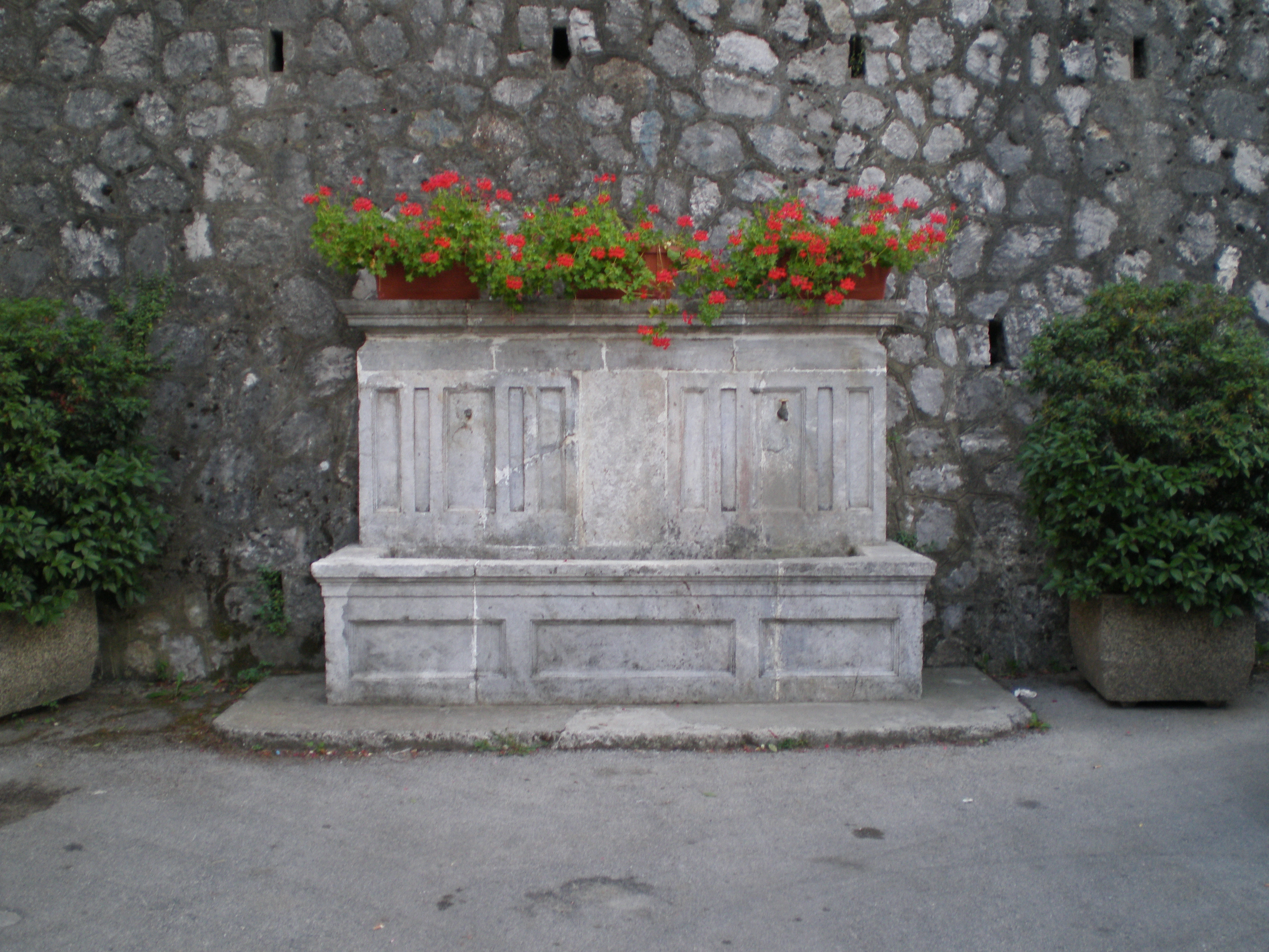
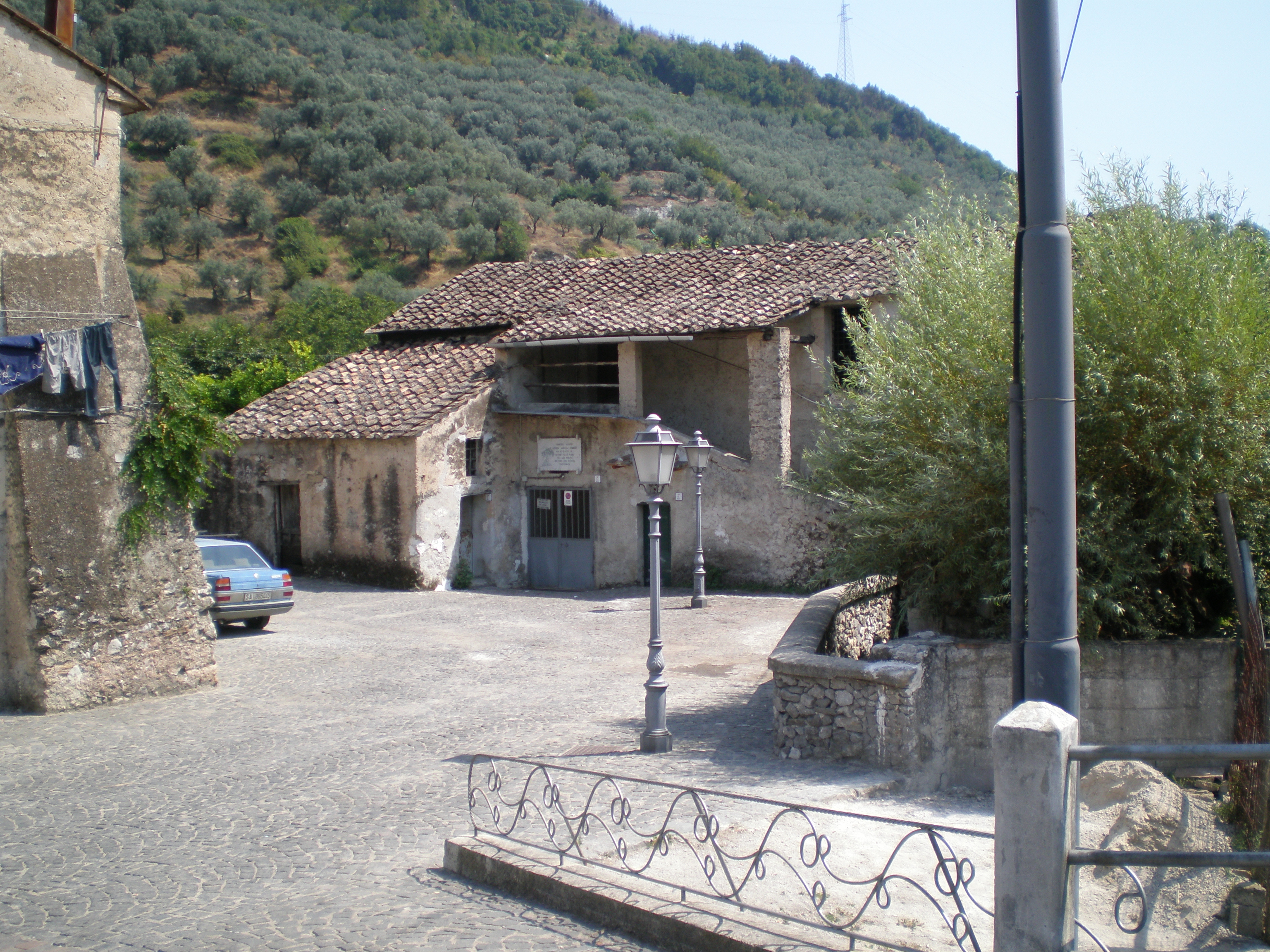
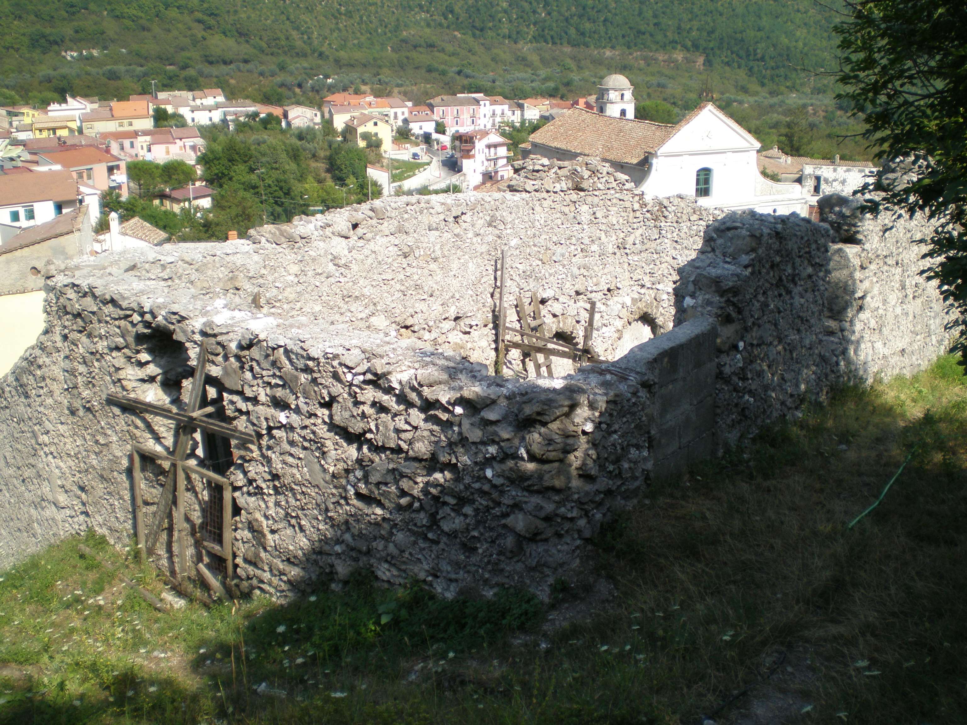
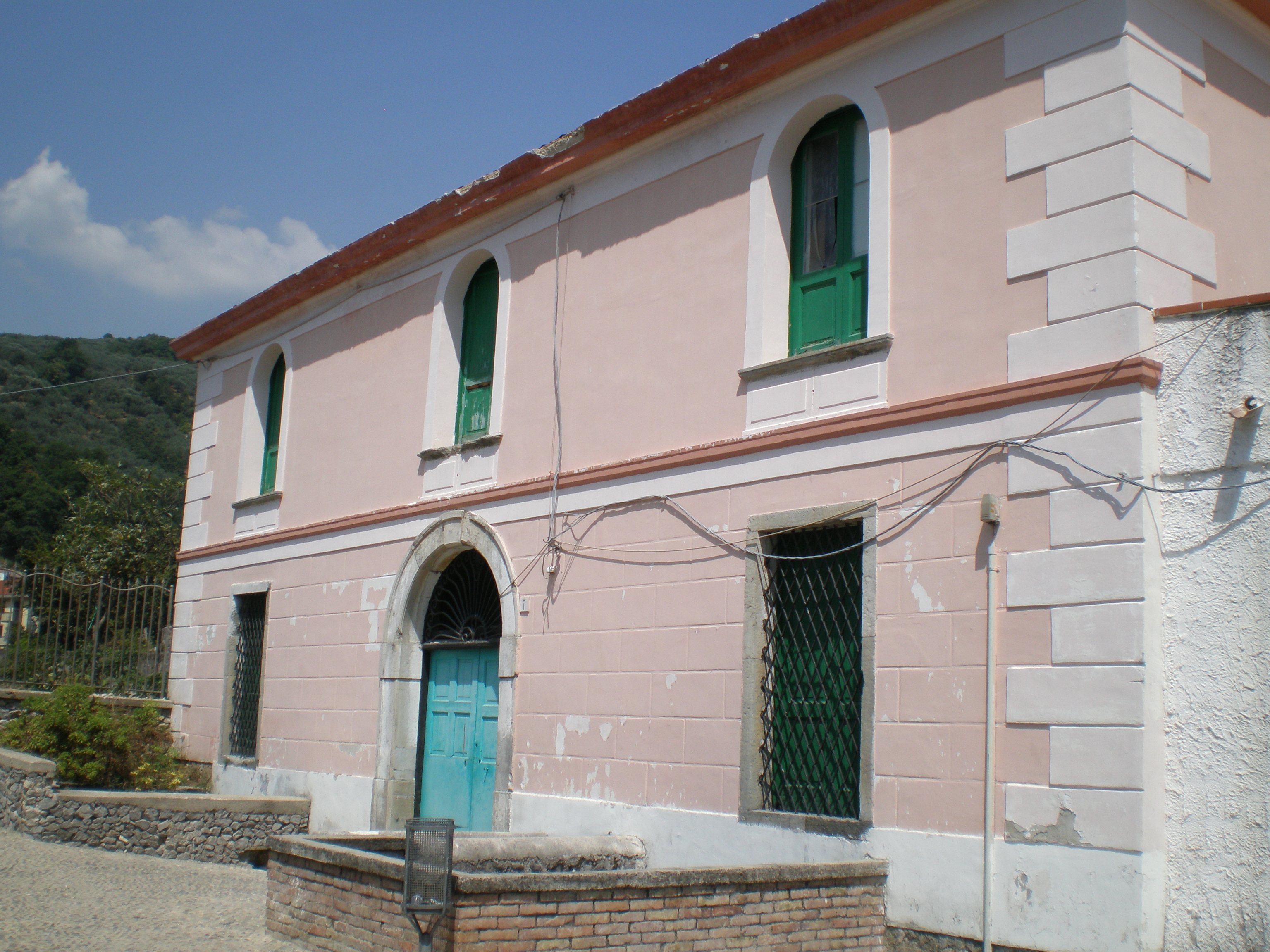
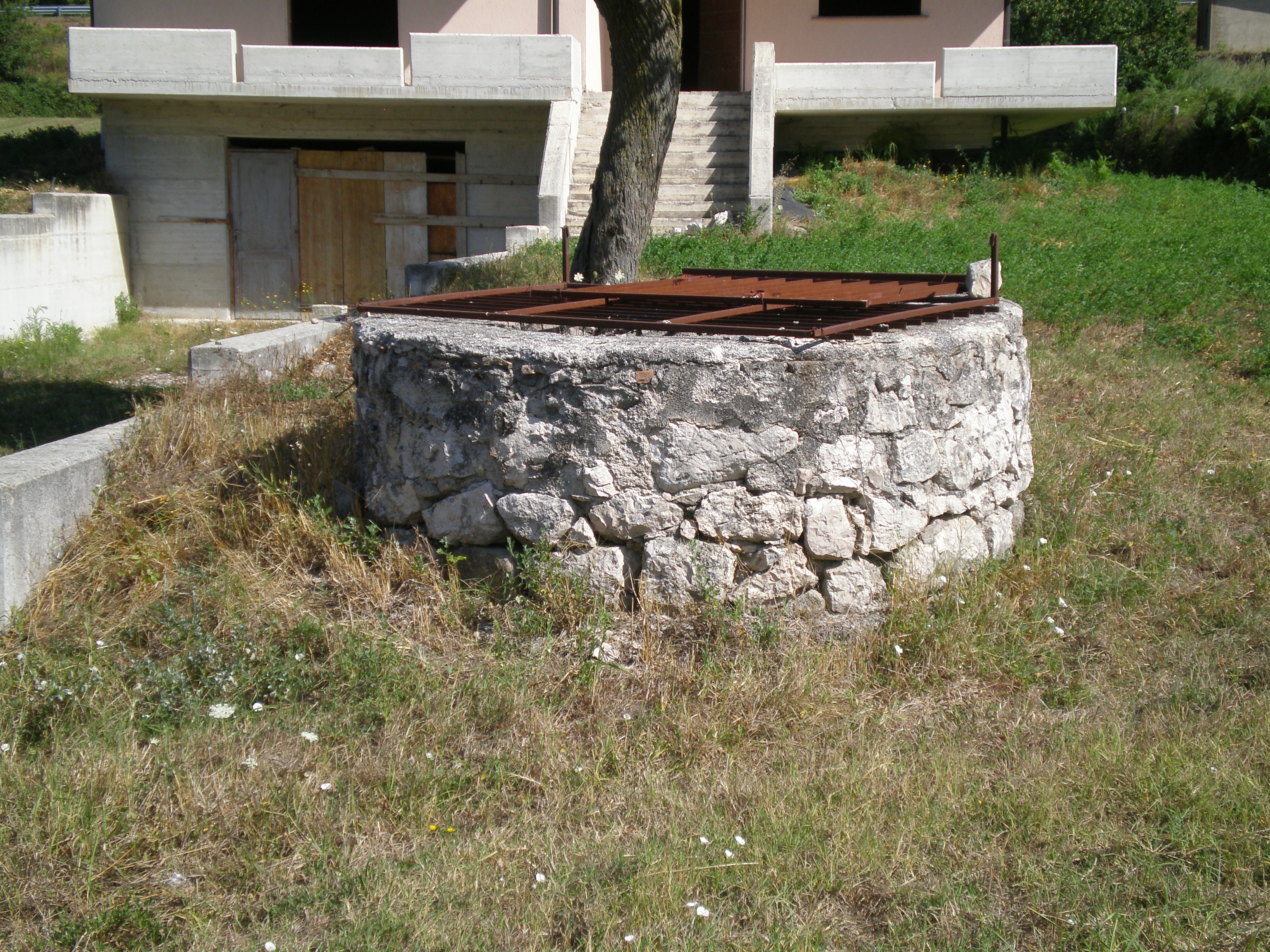
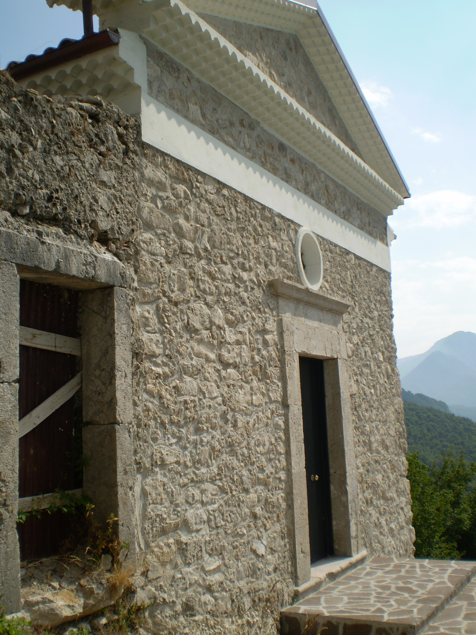
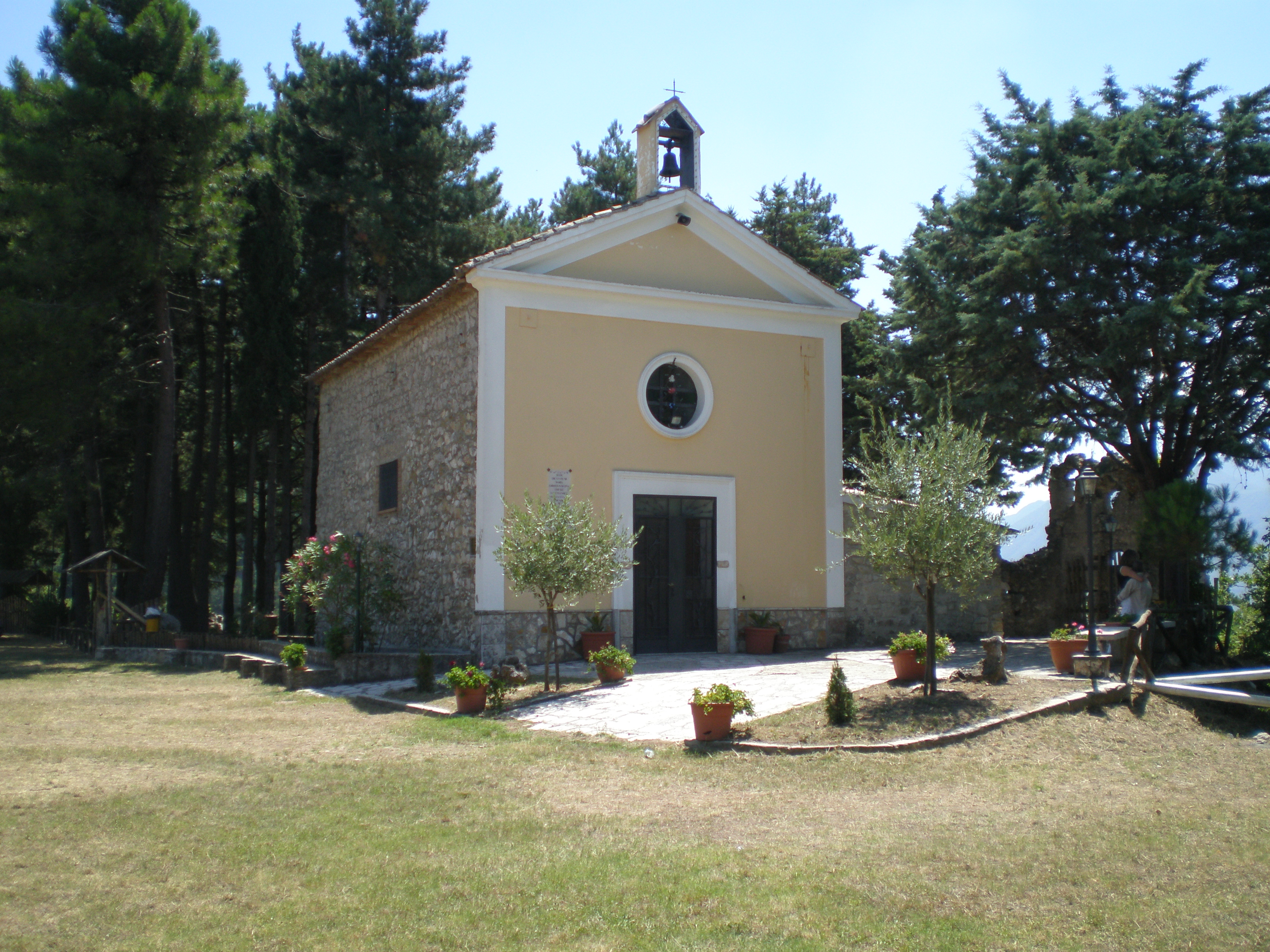
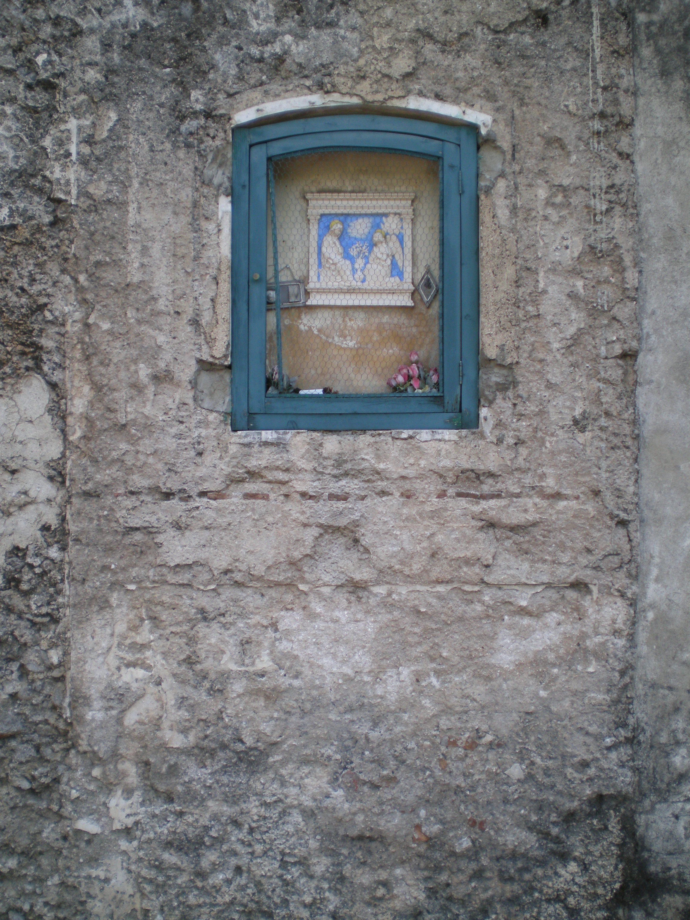
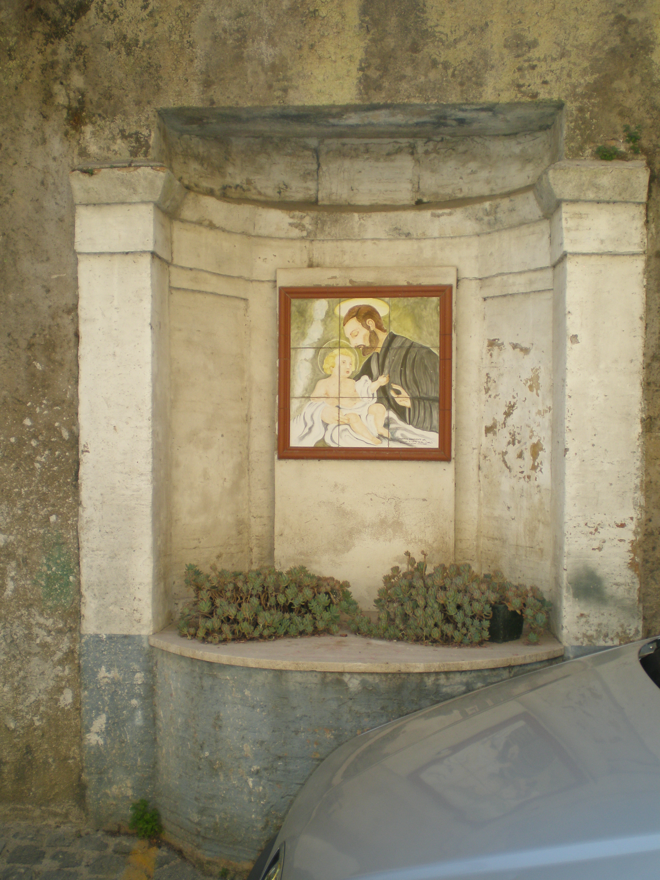
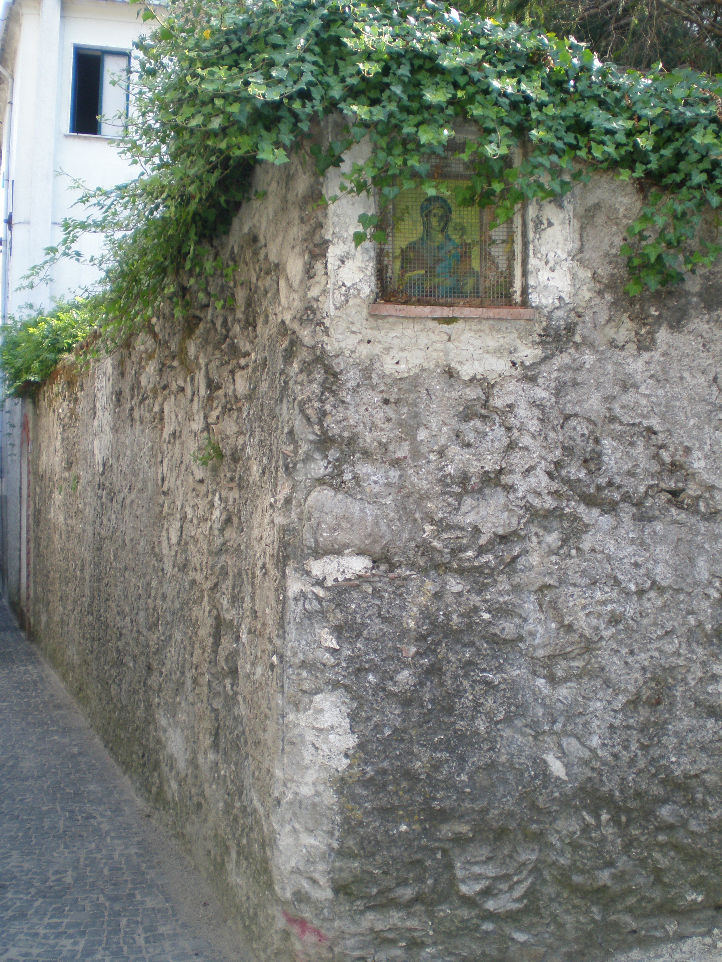
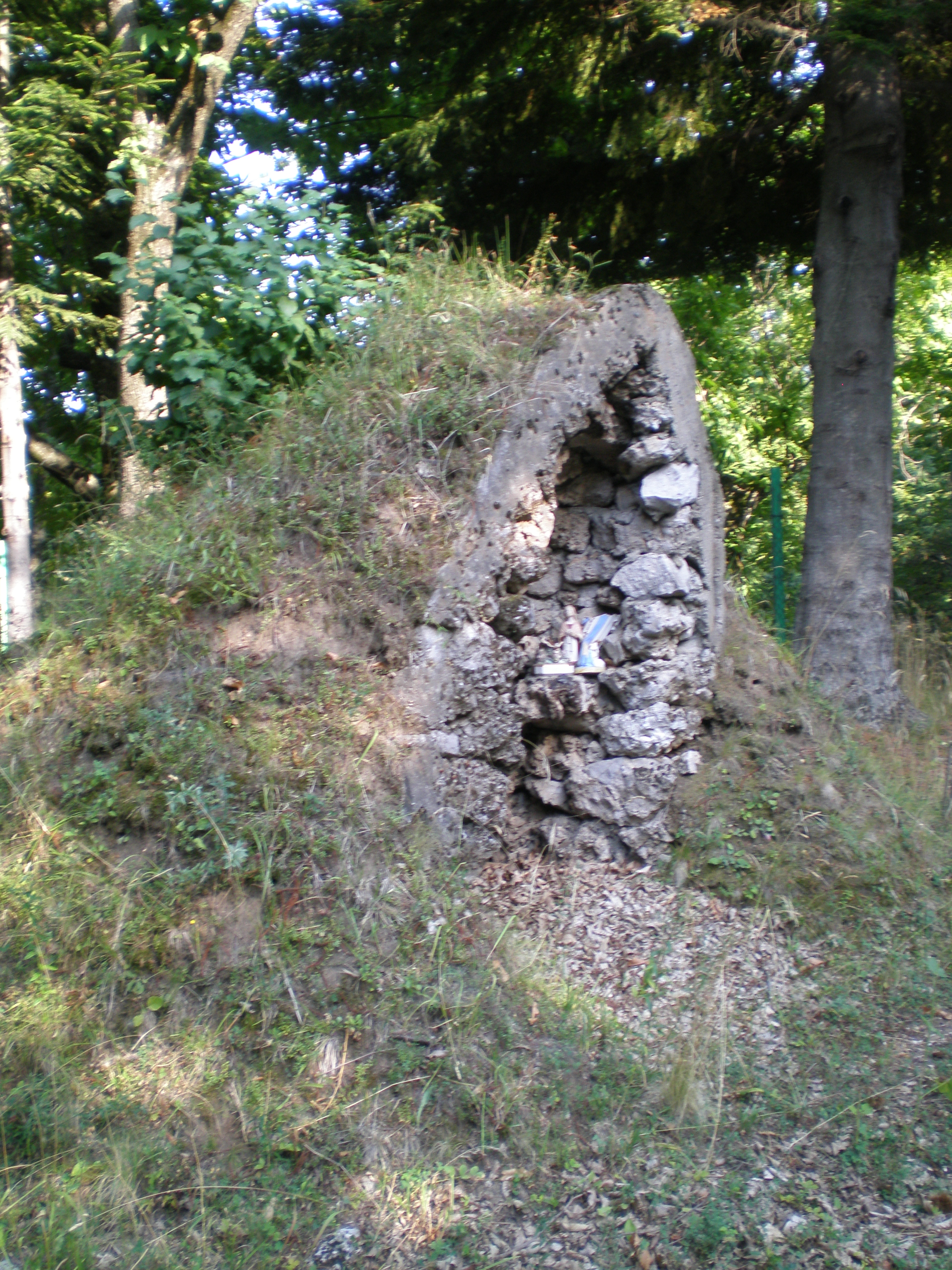
The Parco regionale dei Monti Picentini (regional park) ( go to the link)
extends over an area of about 155676.25 acres and includes 30 cities in
the provinces of Avellino and Salerno. This park was established in
order to protect a very important naturalistic area, as it holds the
most important watershed in the South of Italy. From the springs of the Picentini mountains, covered with century-old beech trees, turkey oaks, and chestnut trees, rise the following rivers: Sele, Calore, Sabato, Picentino, Ofanto.
The river waters are used to quench the city of Naples, the Irpinia and
Salerno areas, and the Puglia region. The ridge of the Picentini
mountains is mainly made of limestone and dolomite rocks, and its
highest peak is the Cervialto mountain (1809 mt.) at which foot
it is situated the Piano Lacero with the lake of the same name. It is a
wide mountain area that includes the following peaks: Terminio,
Felascosa, Raiamagra, Calvello, Cervialto, Polveracchio, Raia, Nai,
Monna, and Costa calda.
The territory includes the most luxuriant forest expanse and the biggest
reservoir in the South of Italy. It is crossed by many water courses,
in particular by Sele and Picentino. The soil is very
fertile thanks to its morphology that absorbs a considerable amount of
water. The park hosts a faunal heritage with a huge variety of mammals,
rodents, birds, and reptiles. Moreover, the history of this area is
characterized by continuous conflicts amongst different folks having
different cultures that left many traces on this territory, and these
represent a great valuable cultural heritage to be preserved. Through
the support provided by culture and the historical places to tourism and
agriculture, the protection and conservation aims of natural heritage
might be reached. The census has concerned an area of about the 15% of
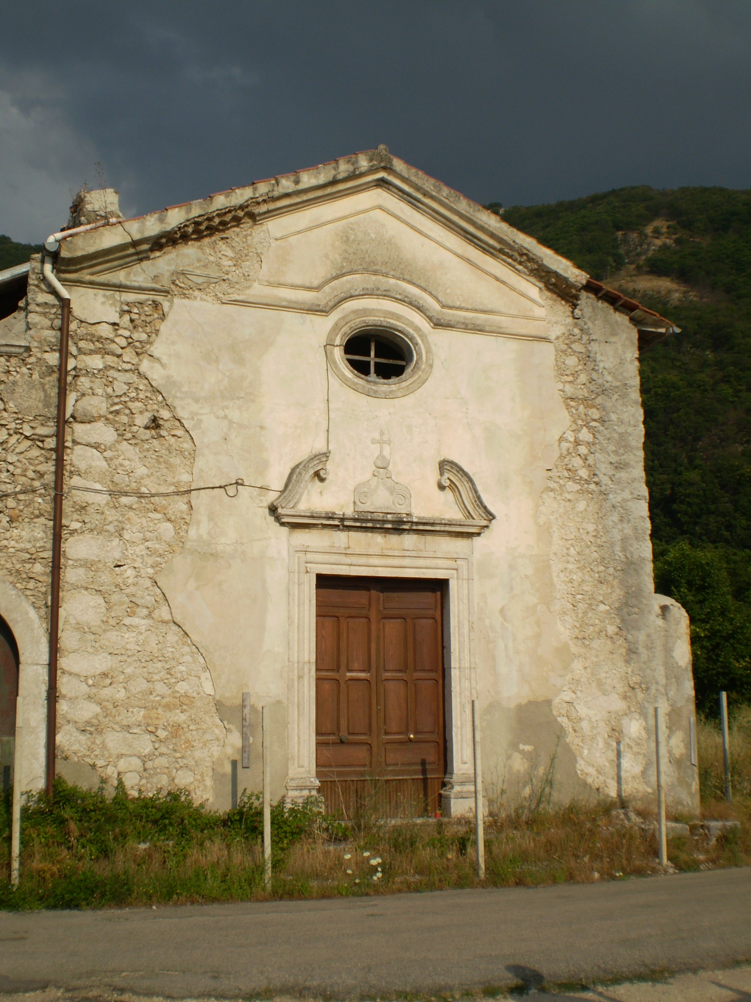
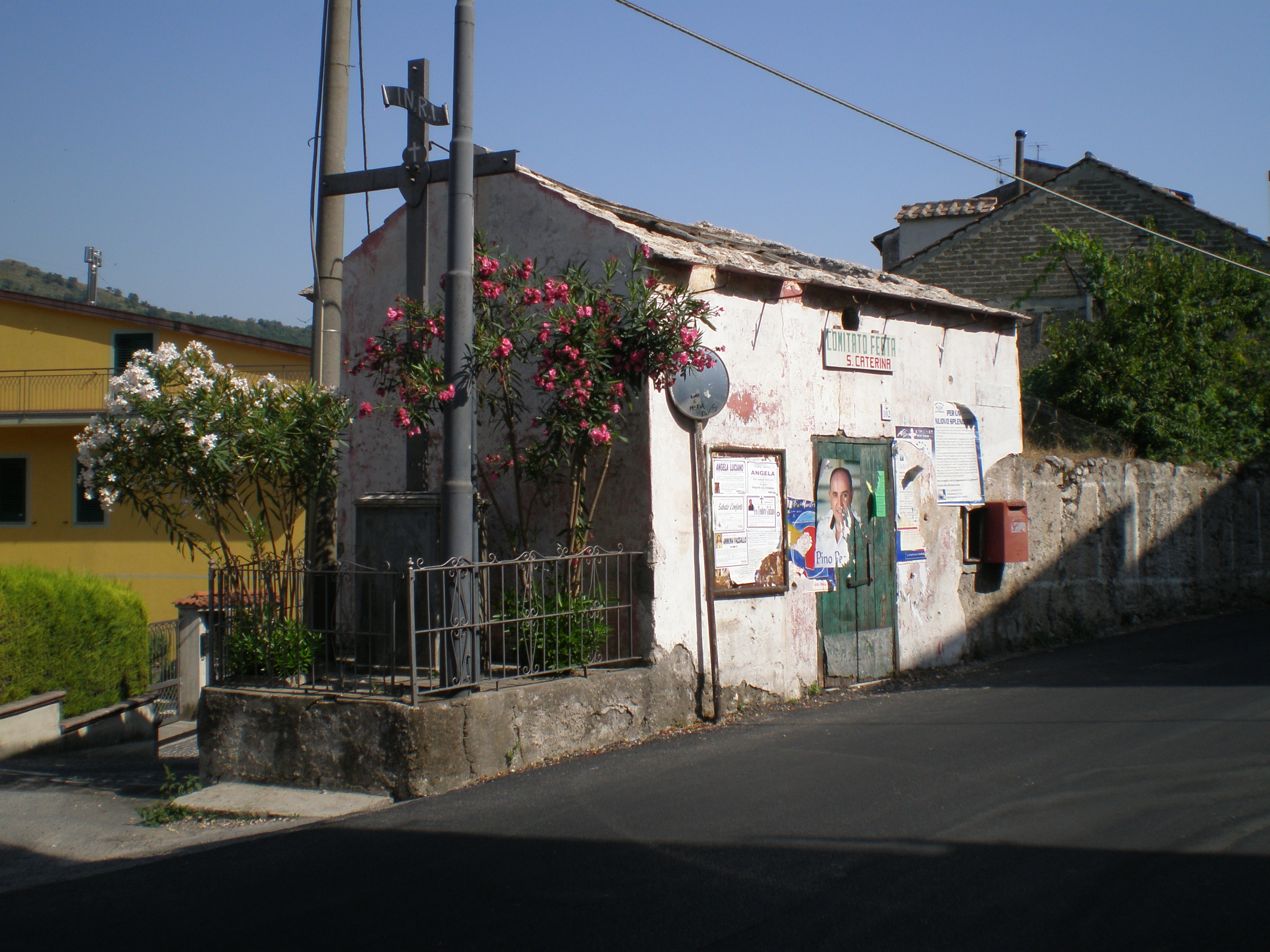
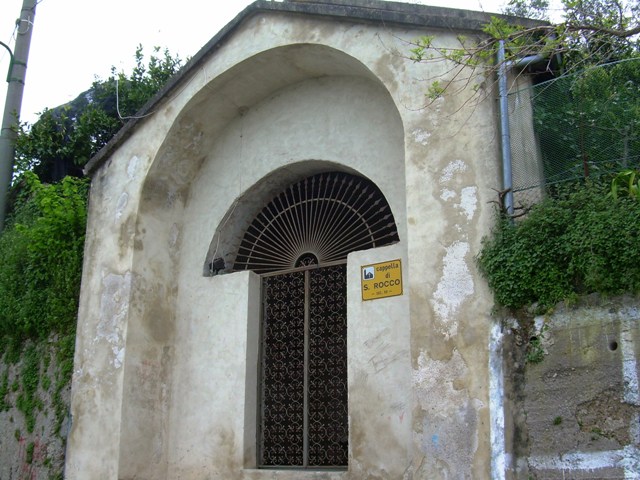
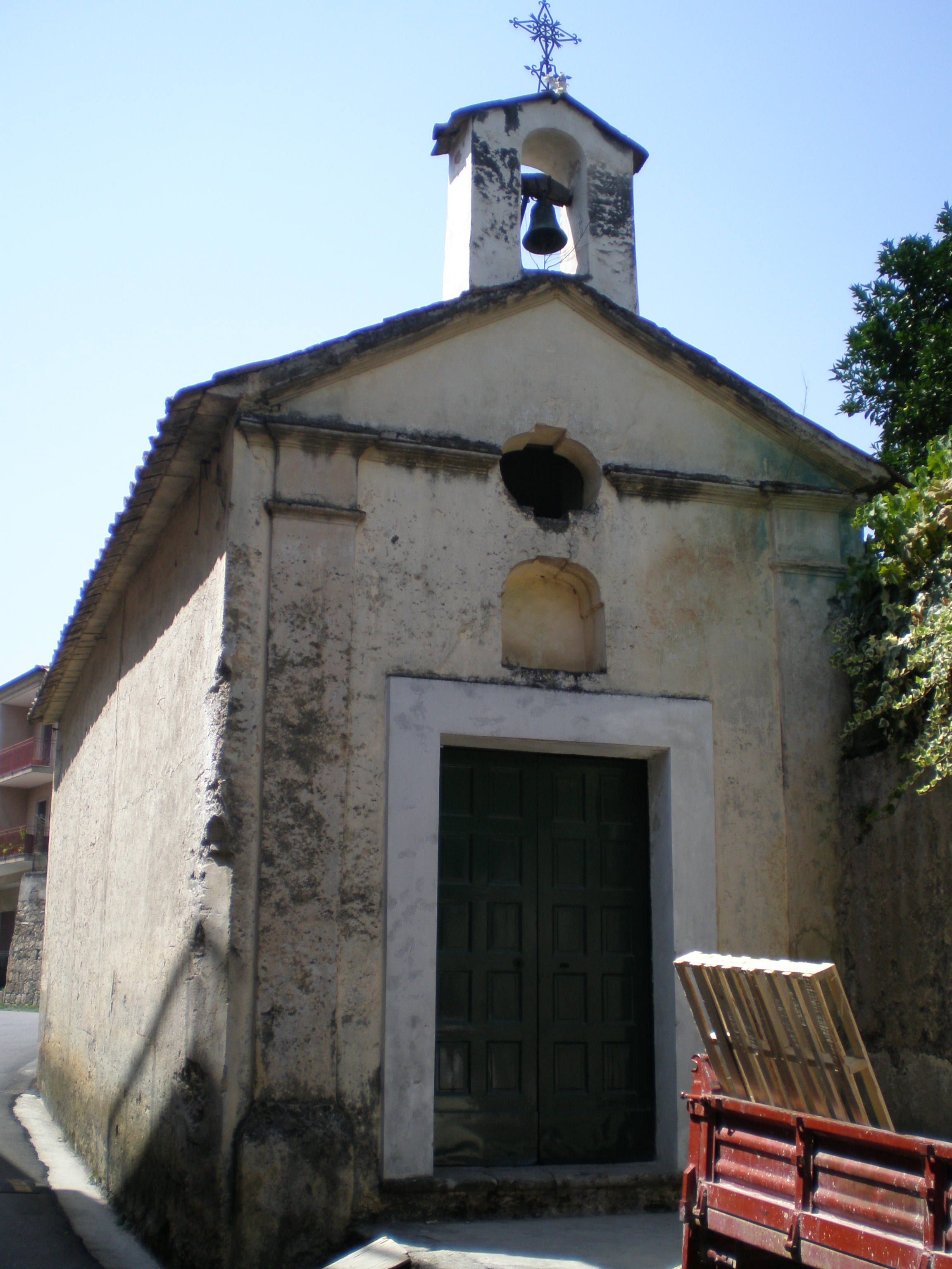
the park’s territory which the following cities belong to: Giffoni Valle Piana, Nusco, Bagnoli Irpino, Montella, Volturara Irpina, Olevano sul Tusciano, Santo Stefano del Sole, and Serino.


