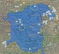
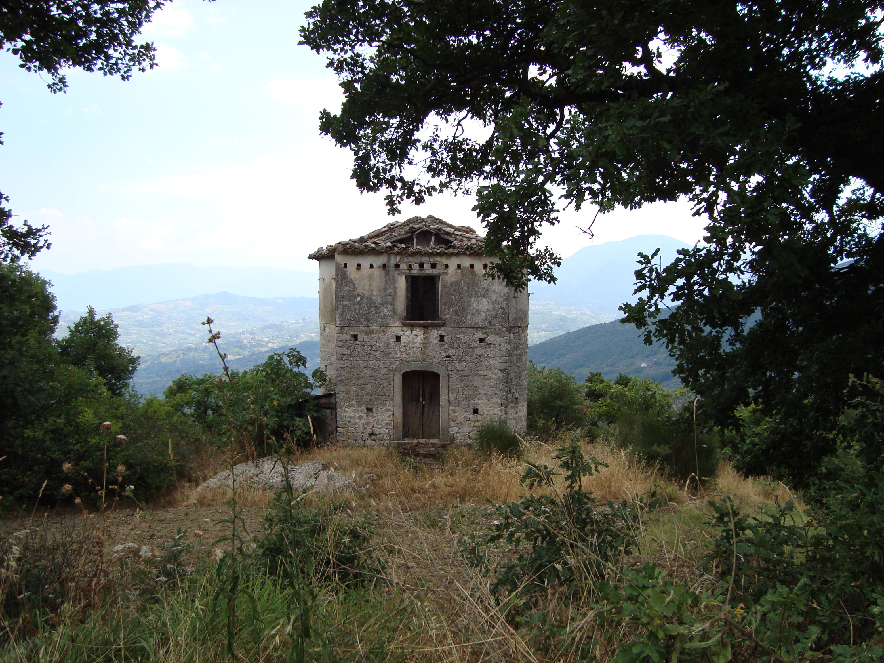
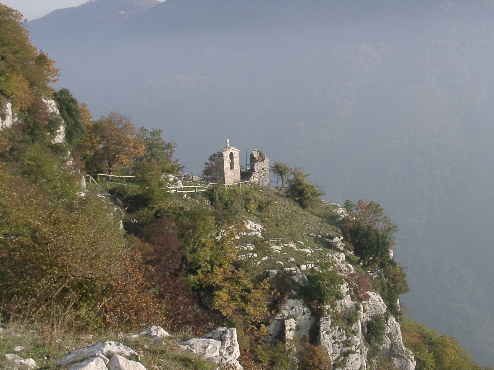
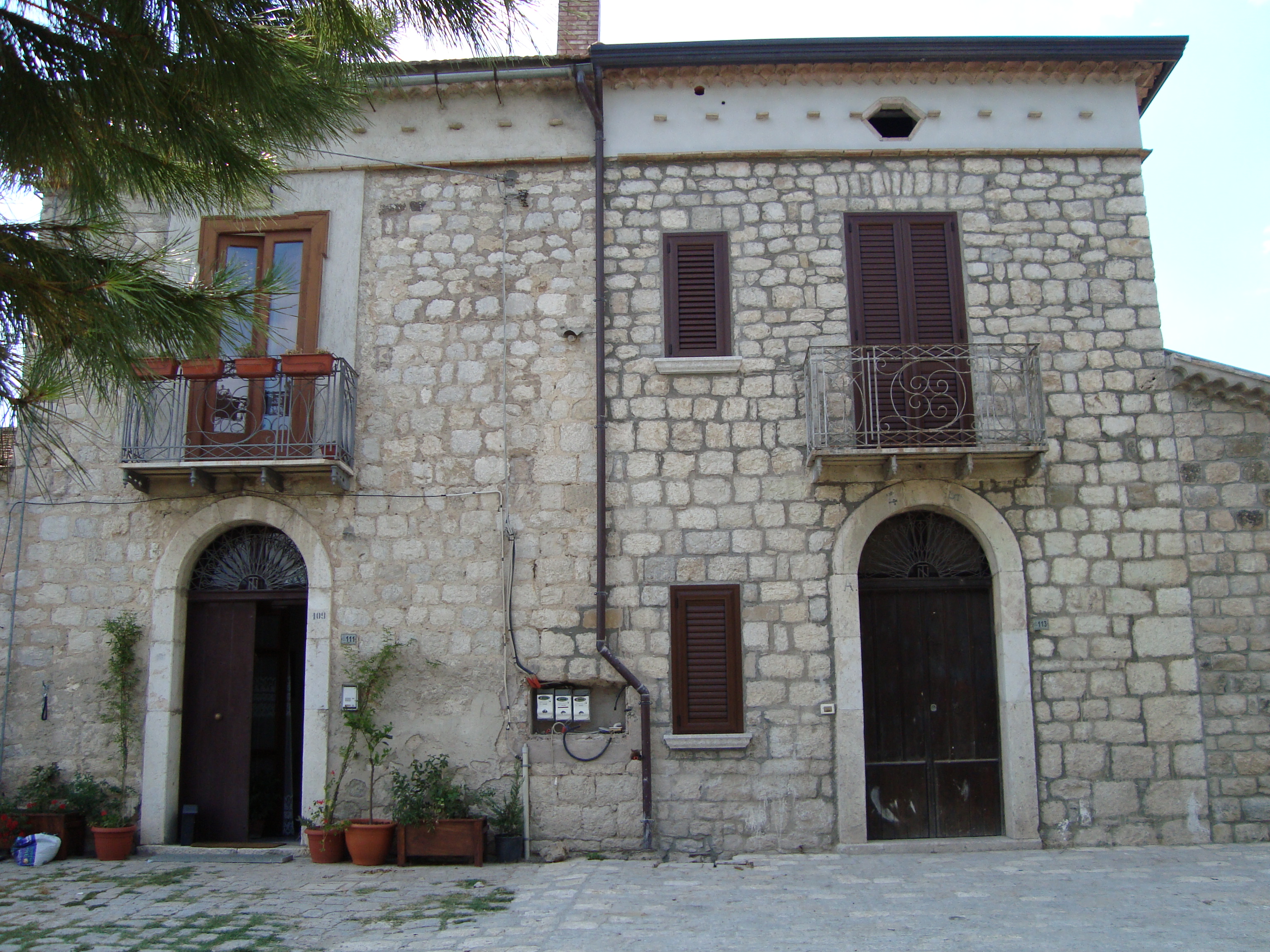
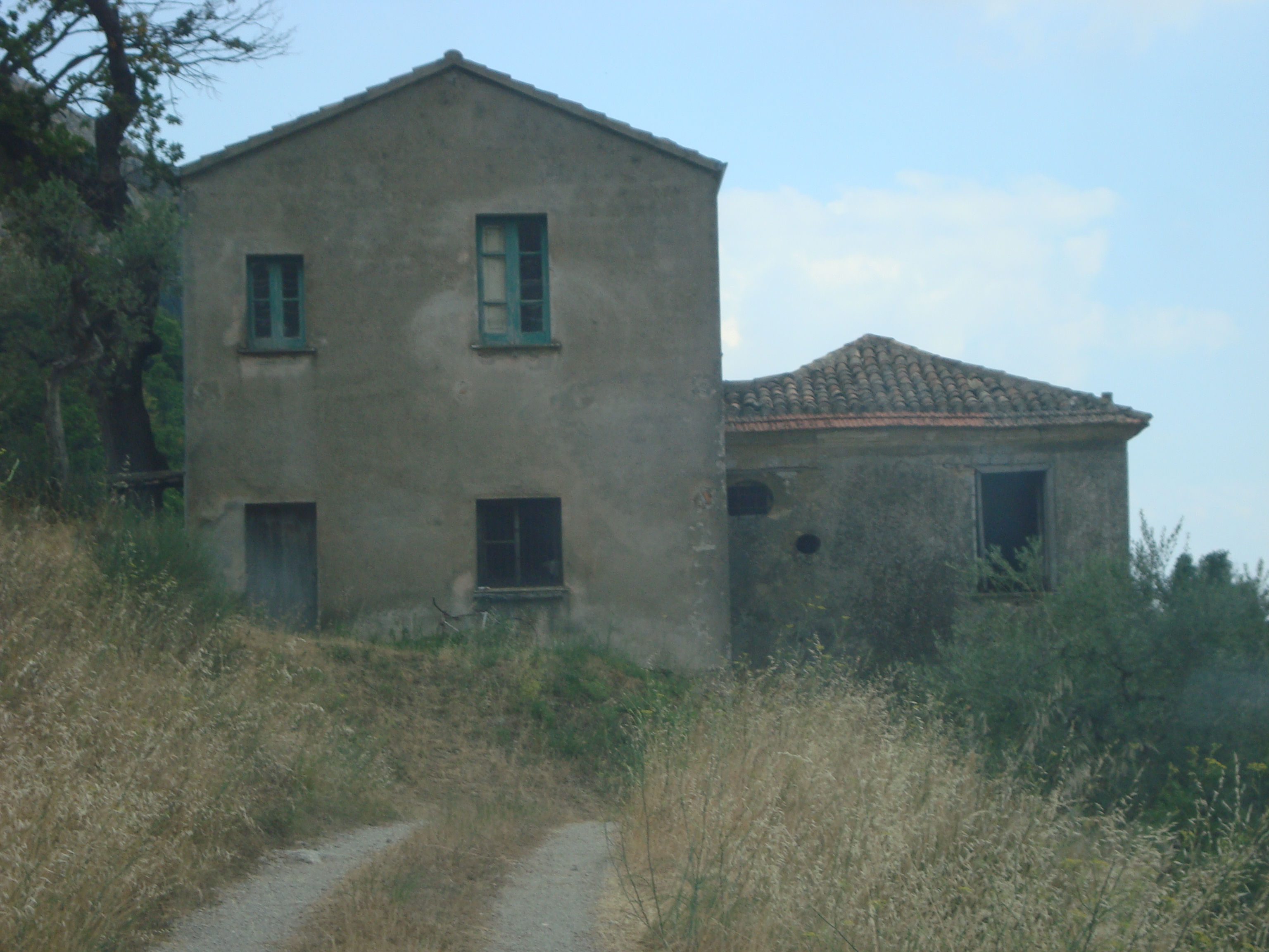
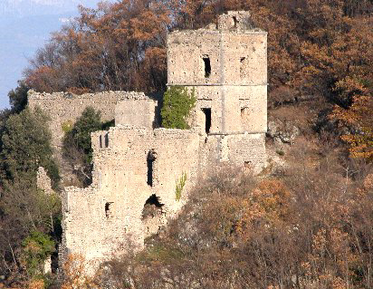
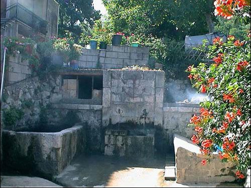
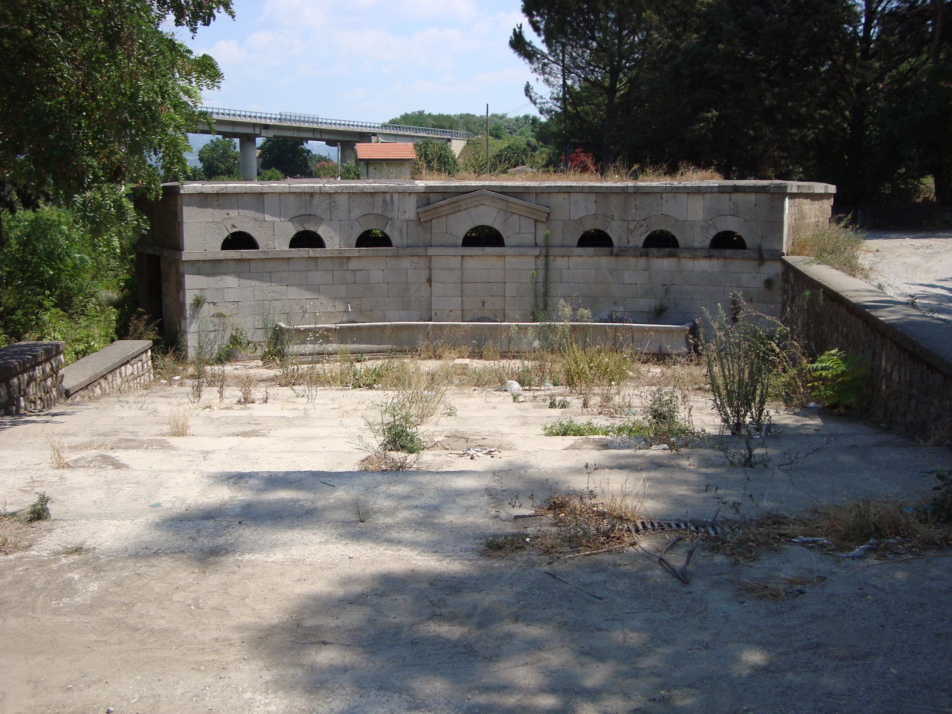
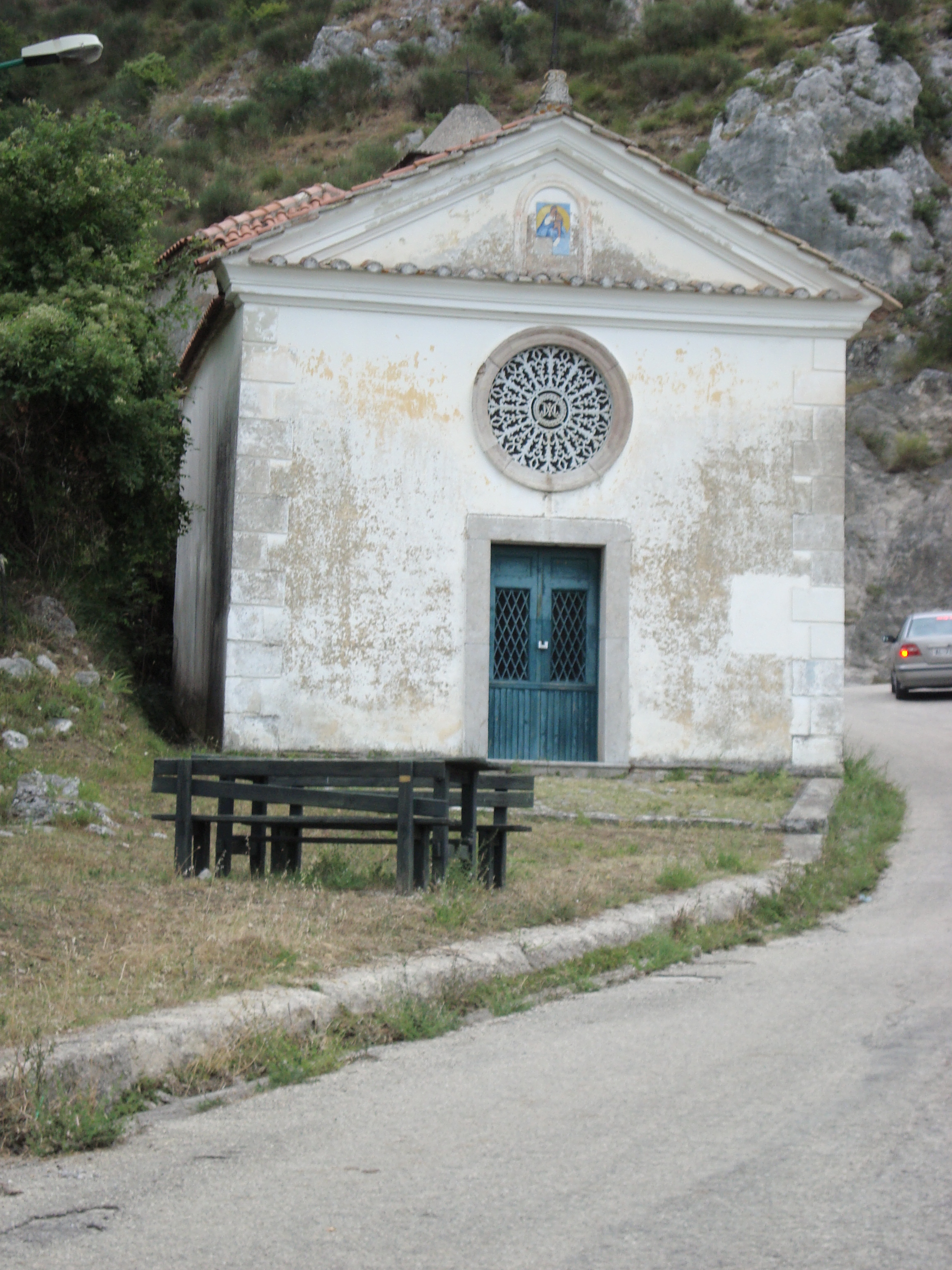
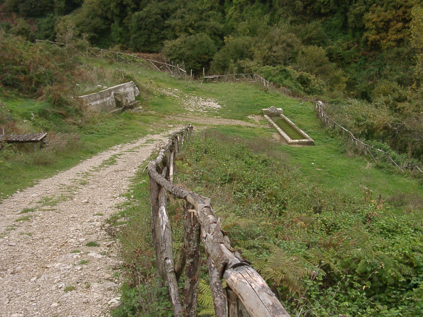
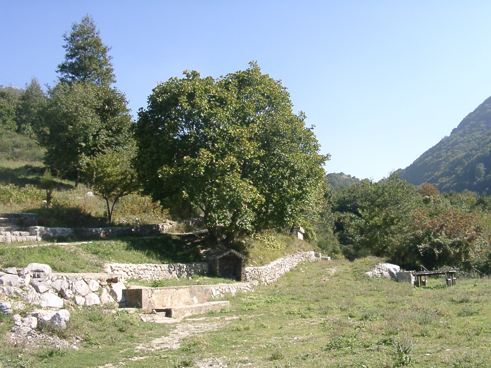
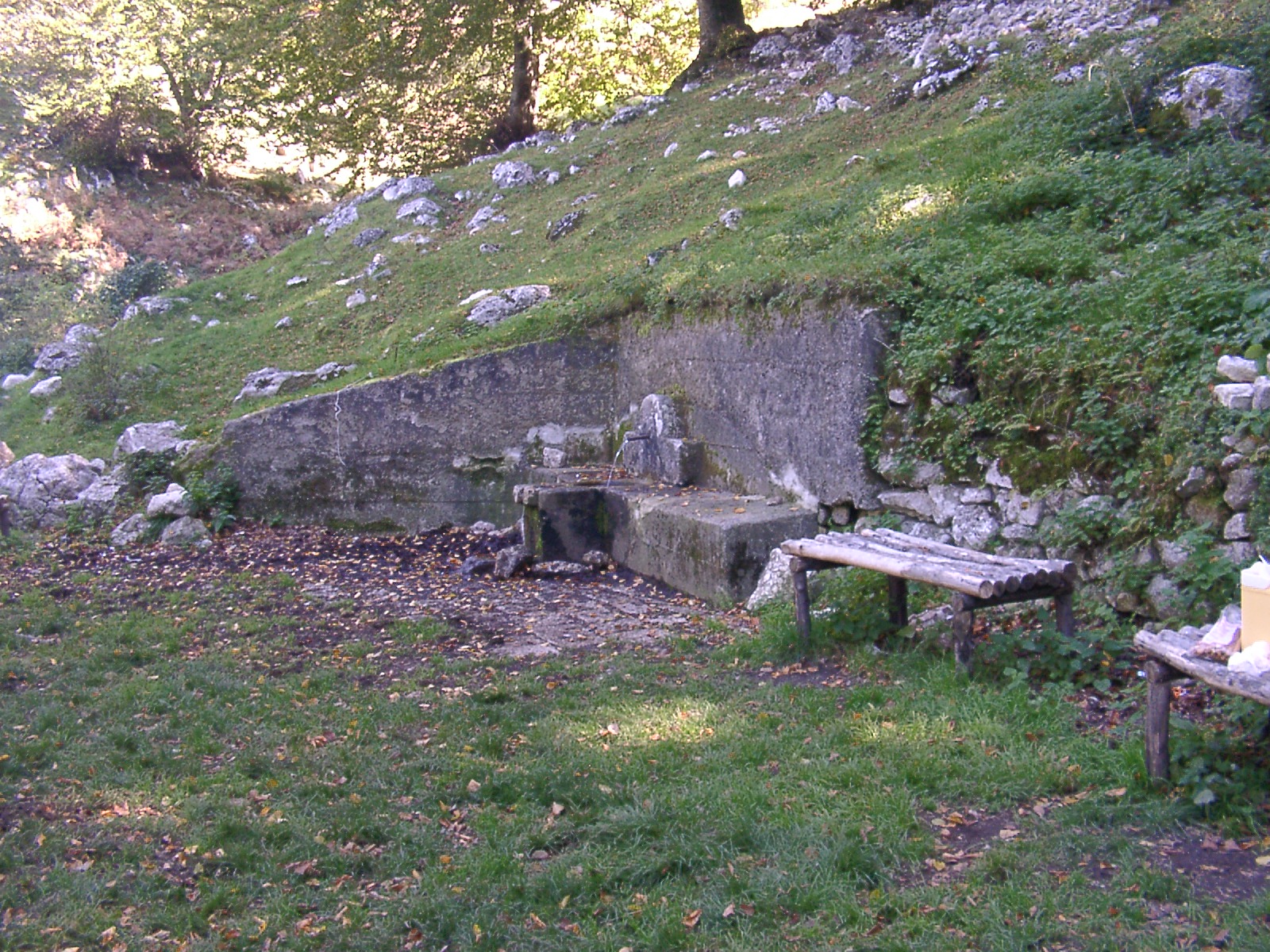
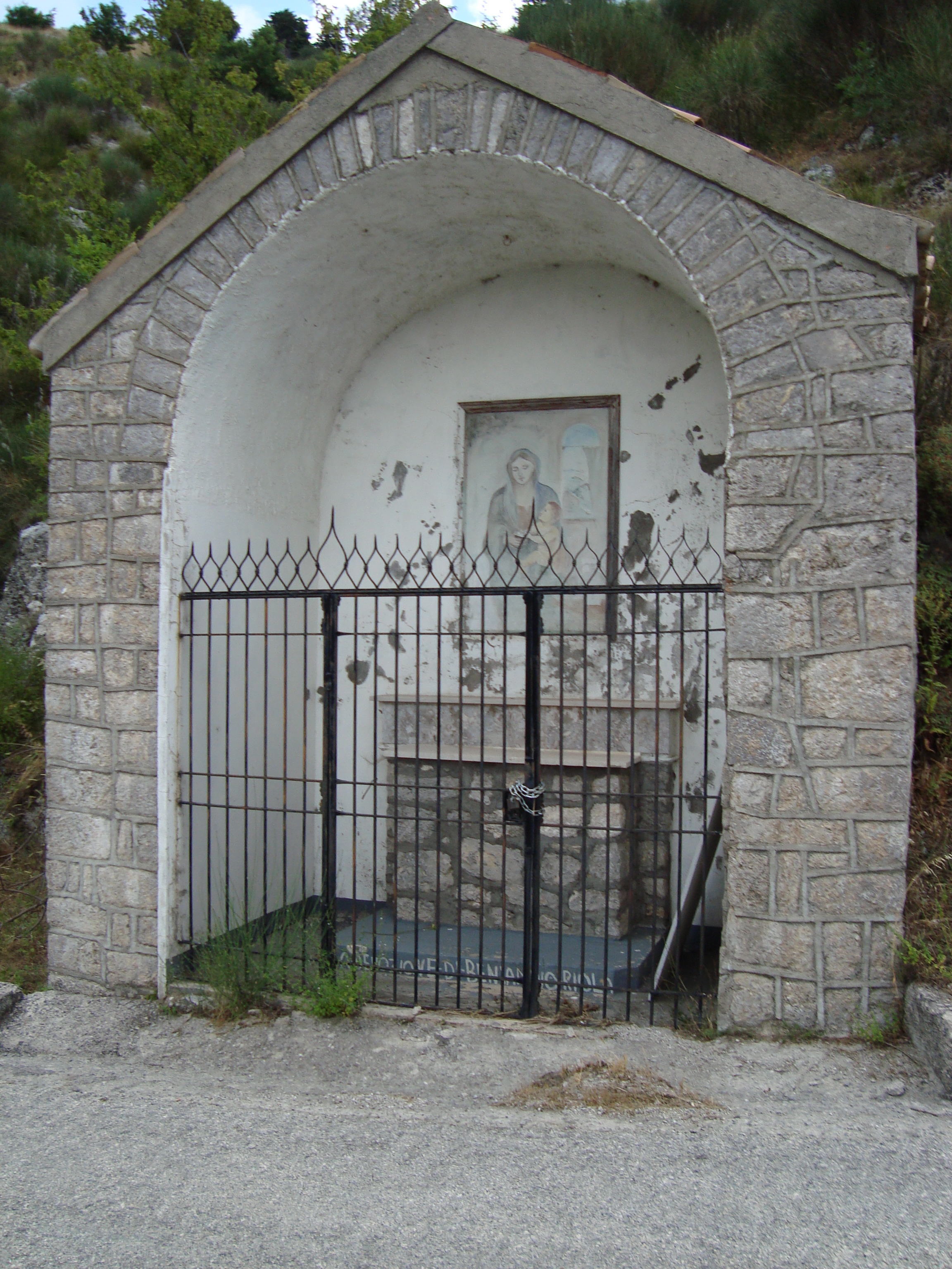
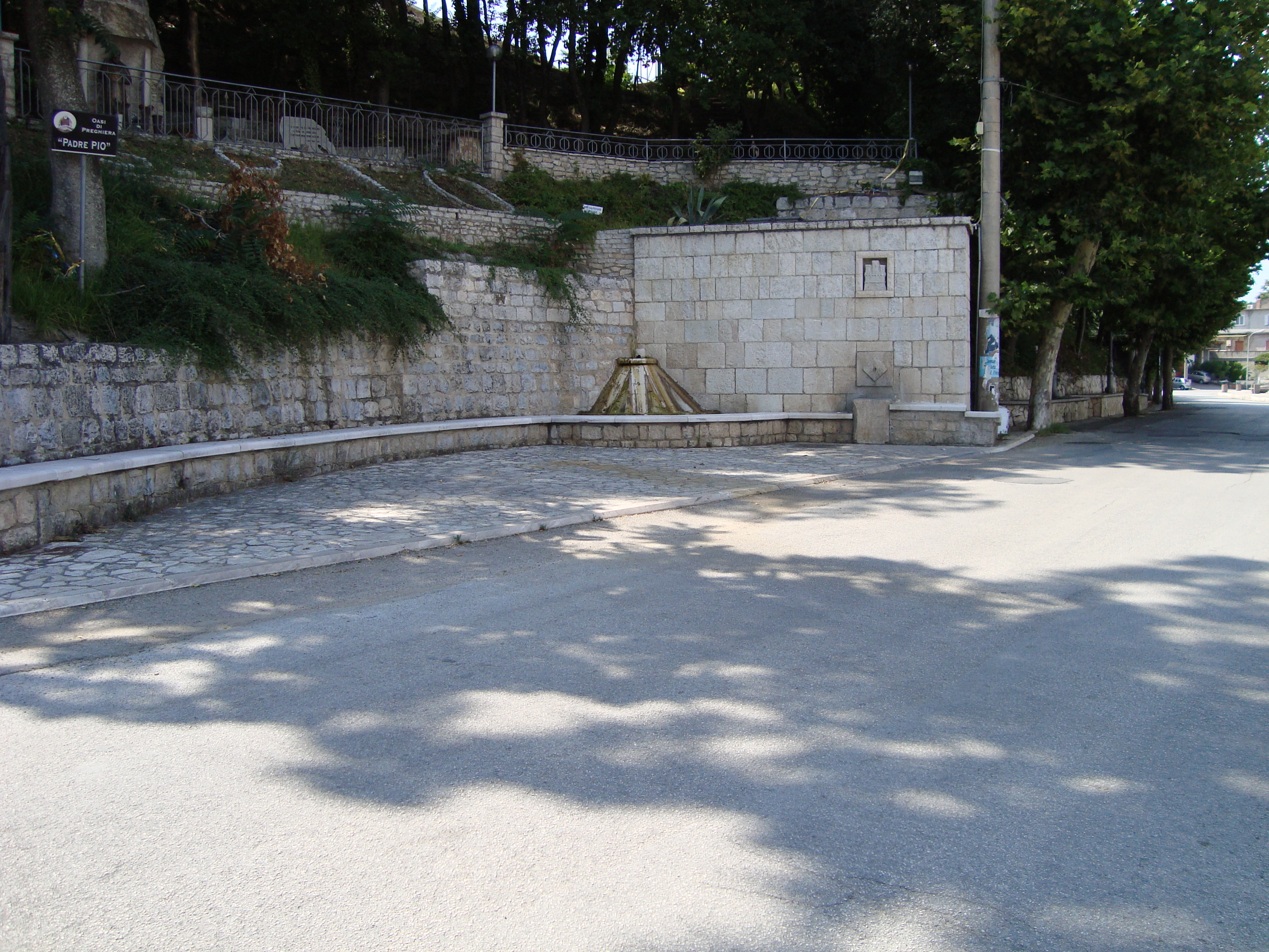
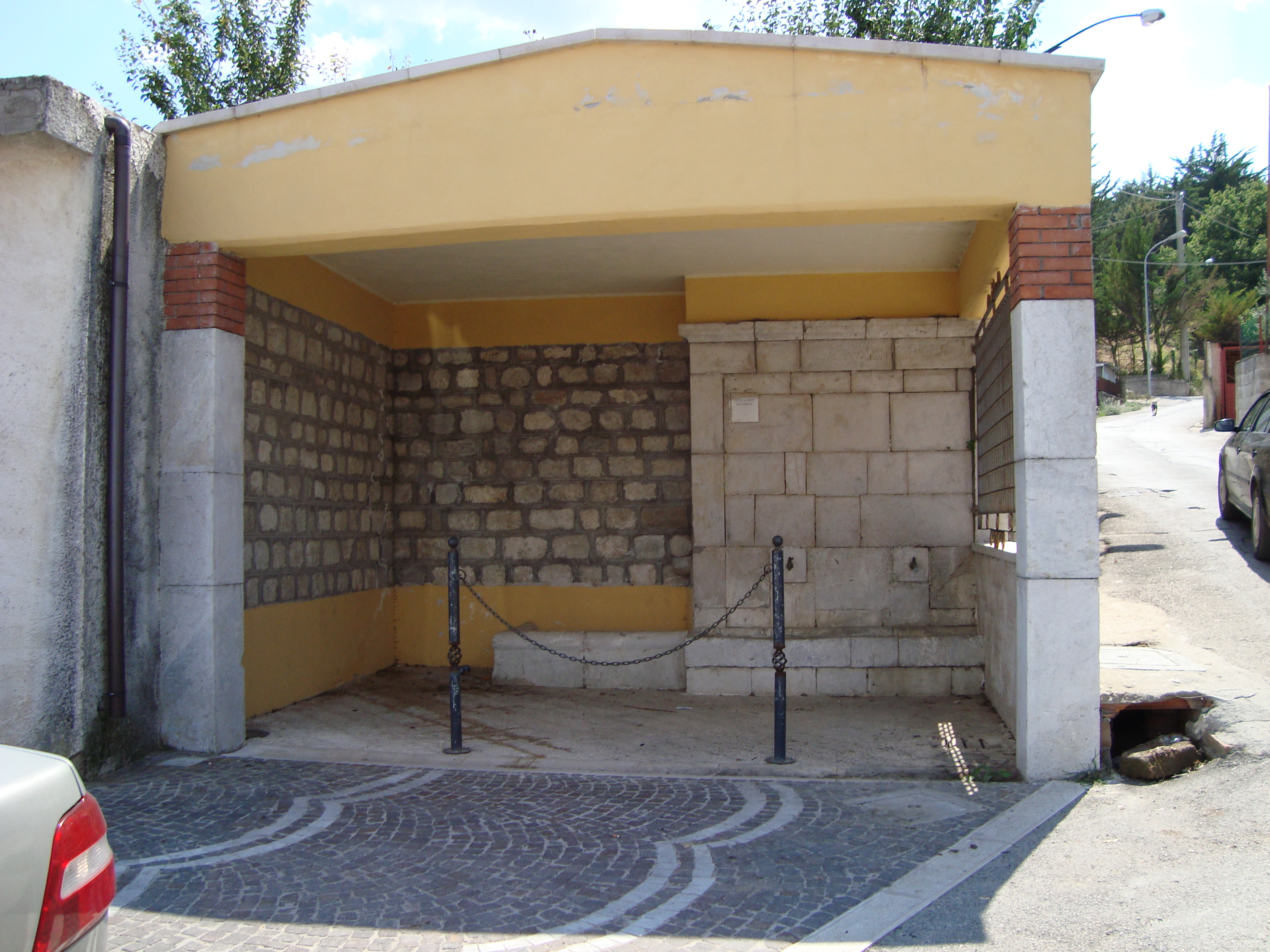
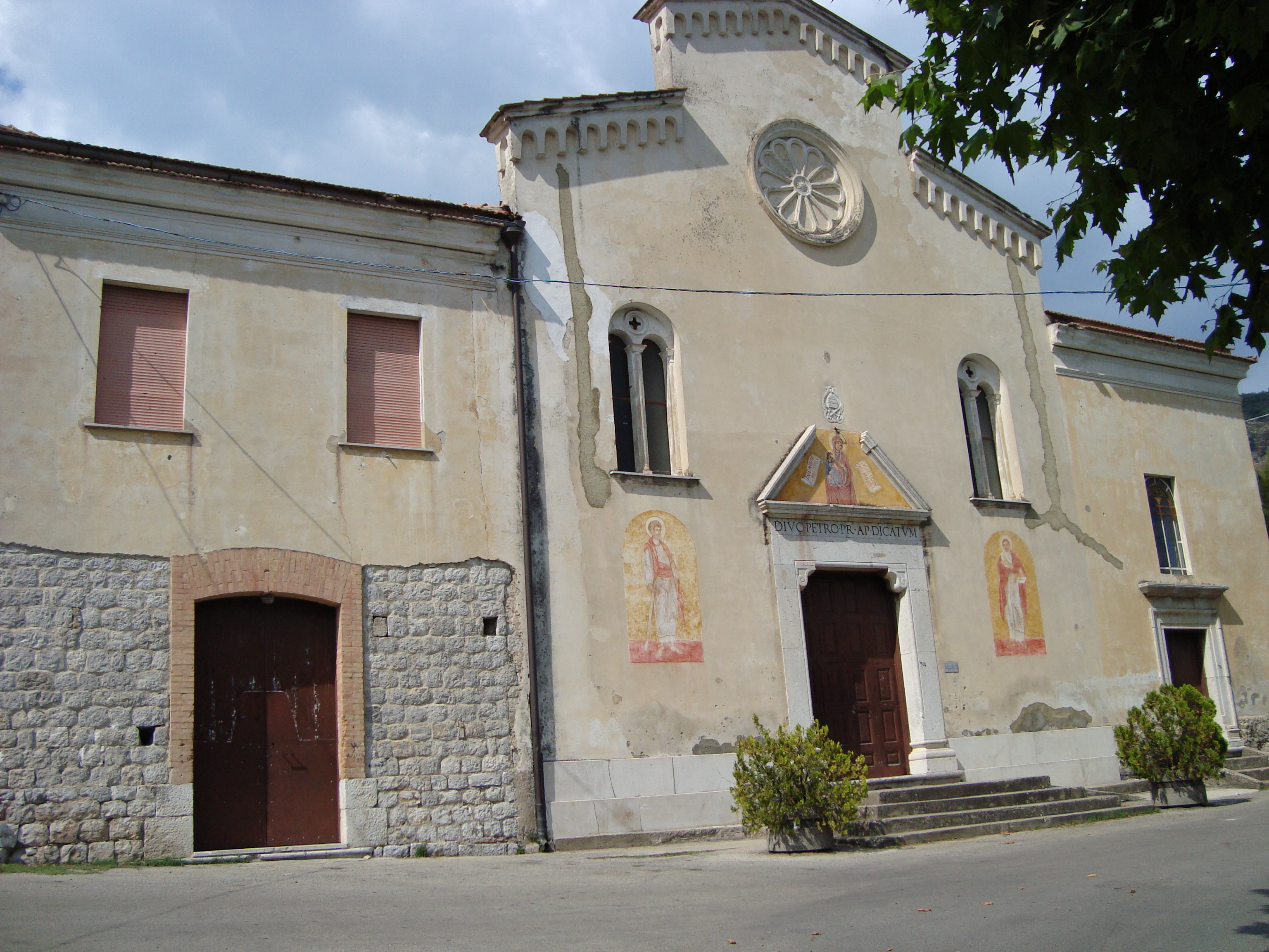
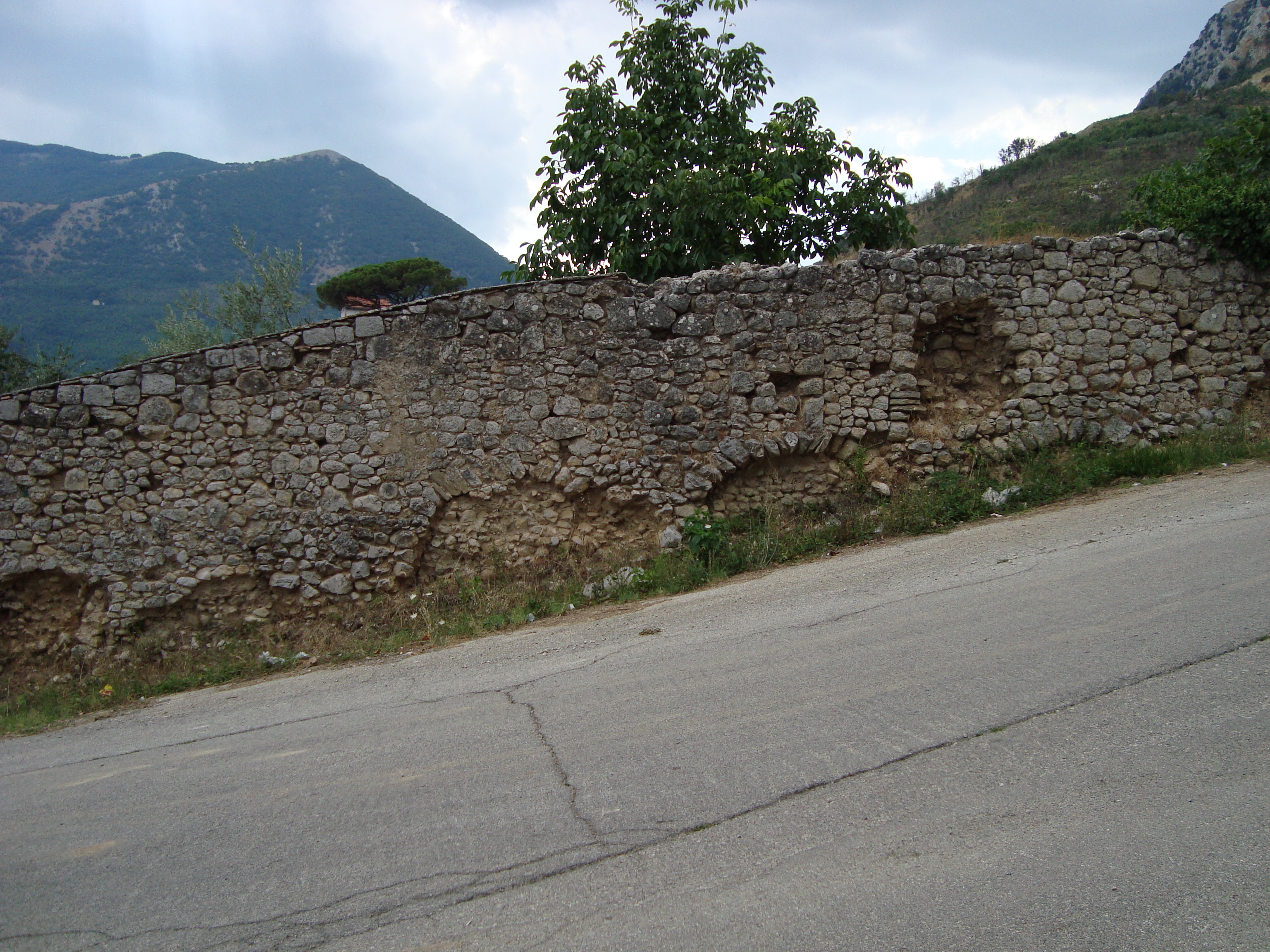
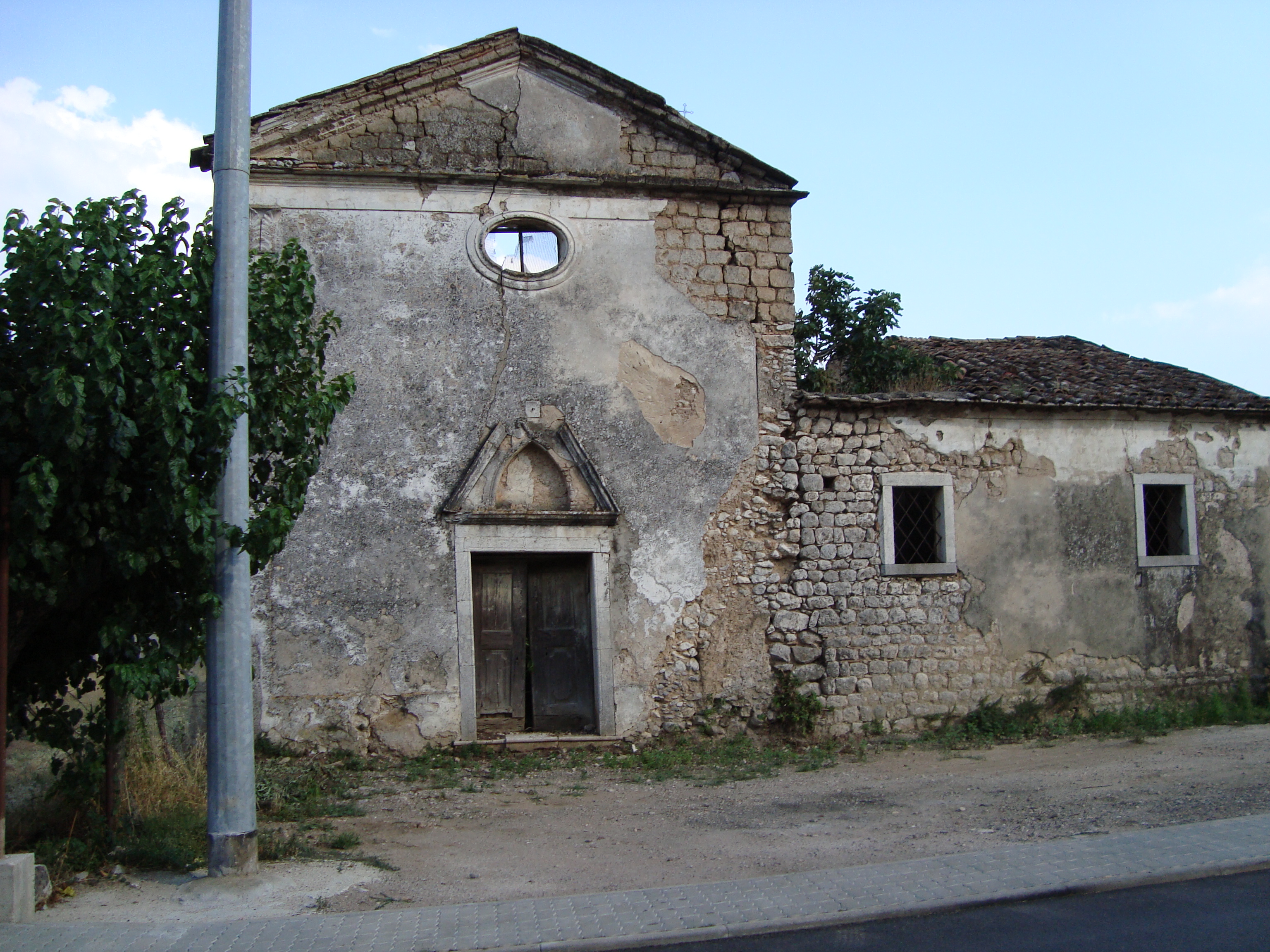
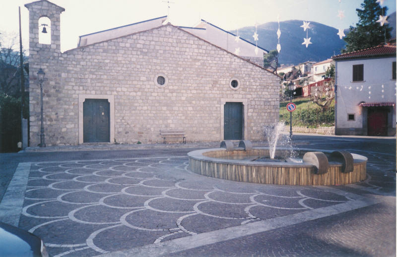
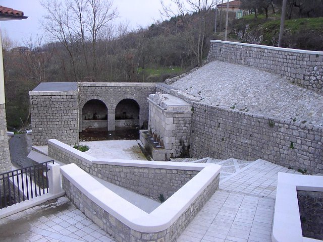
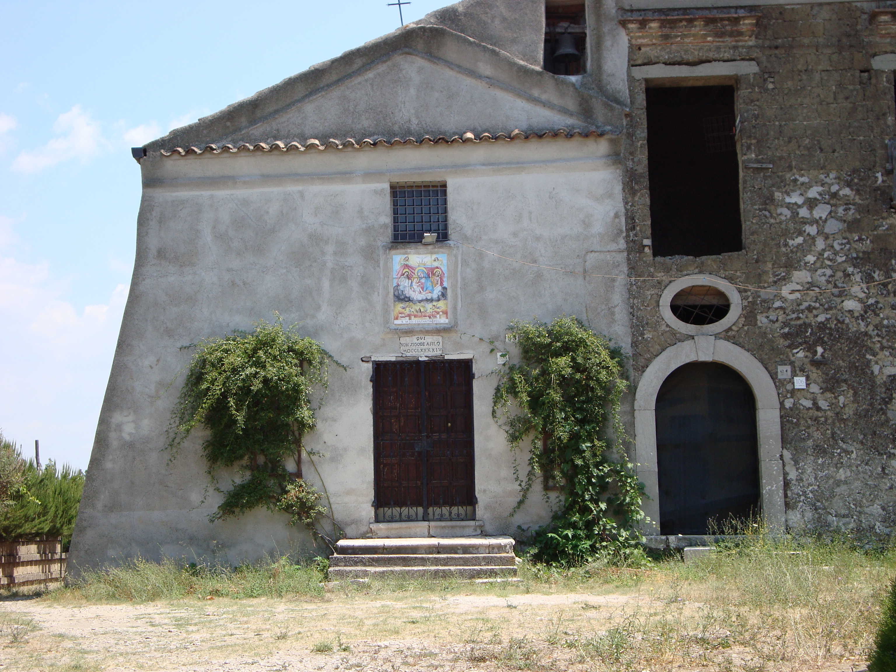
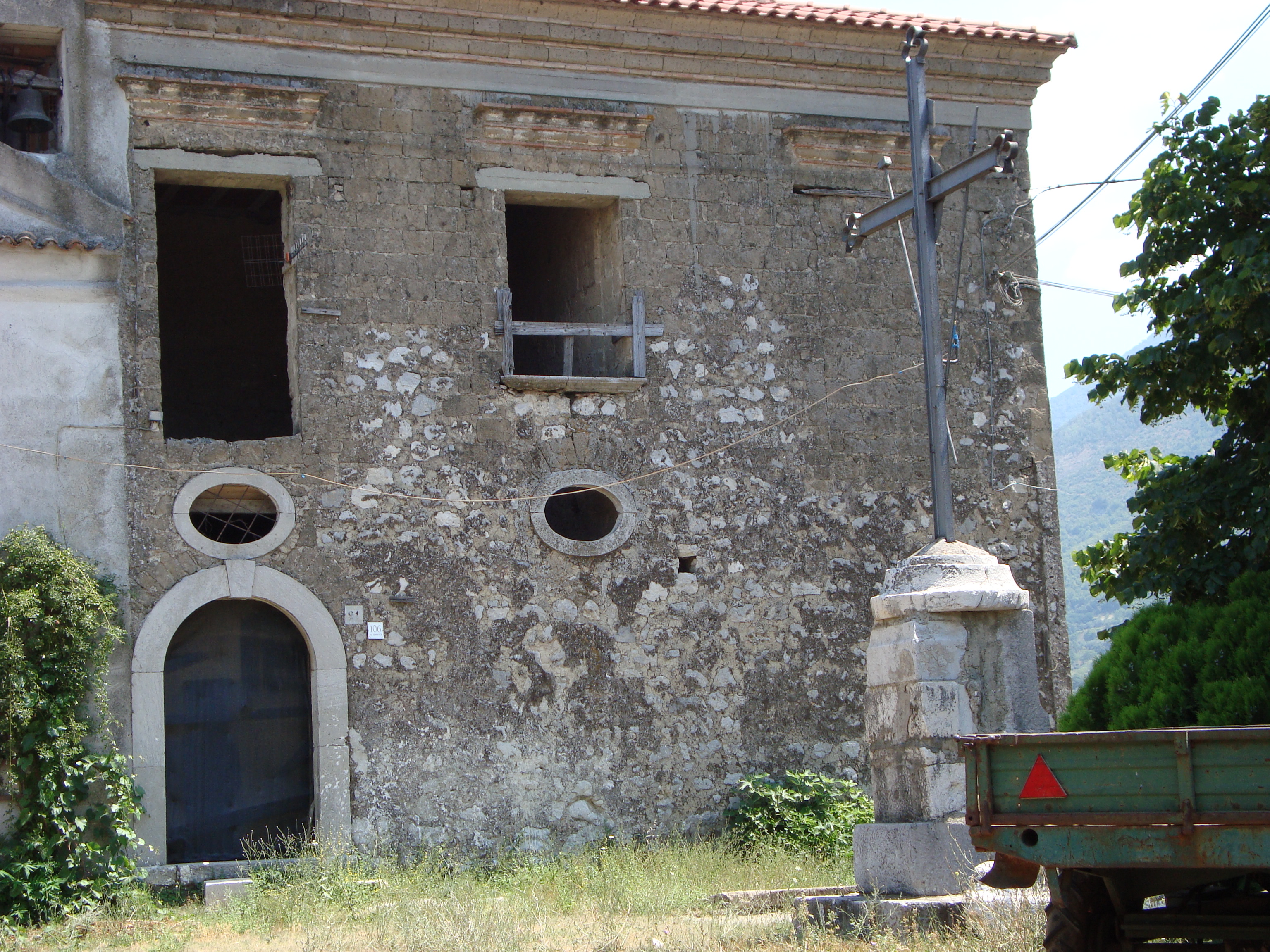
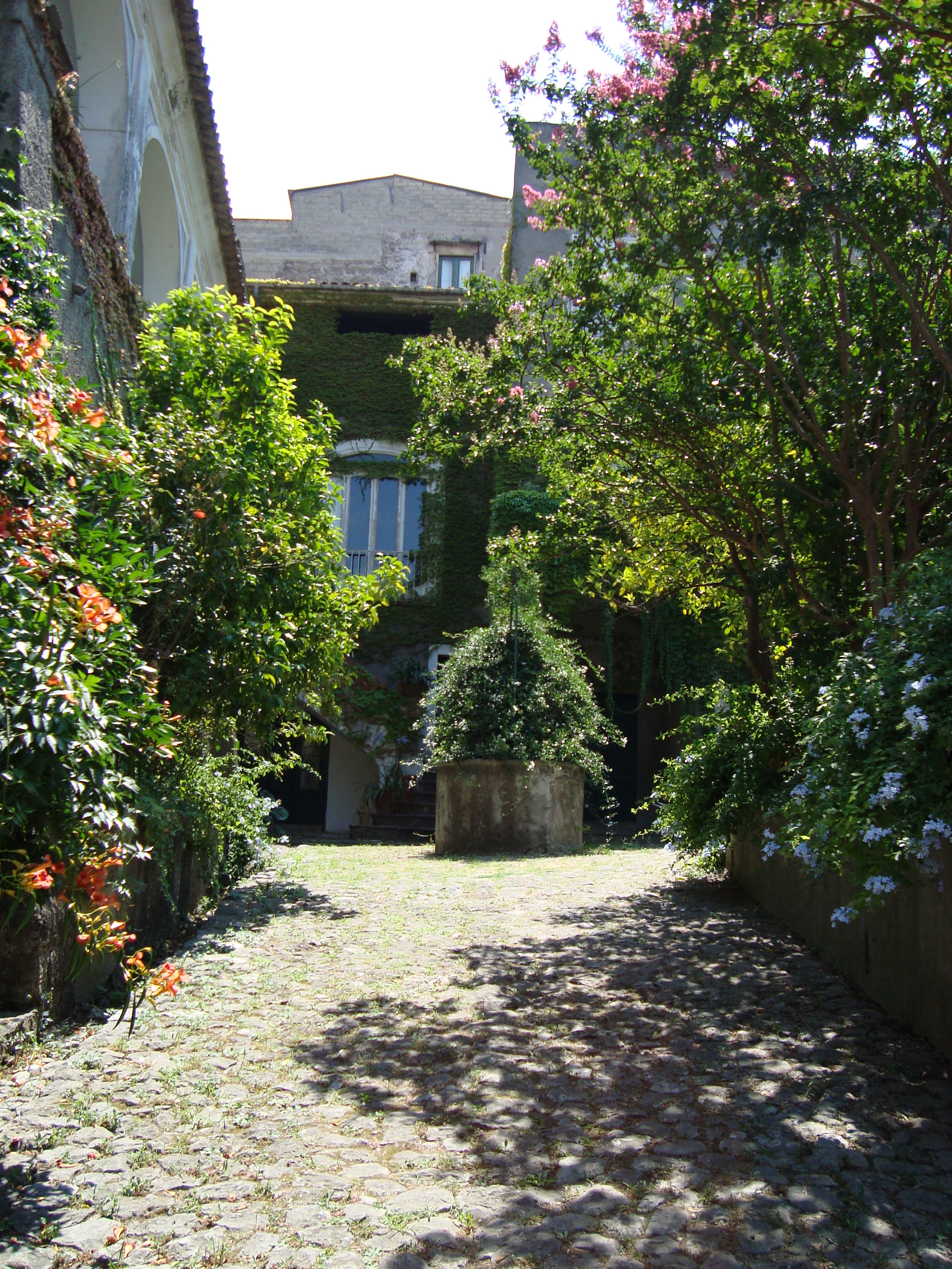
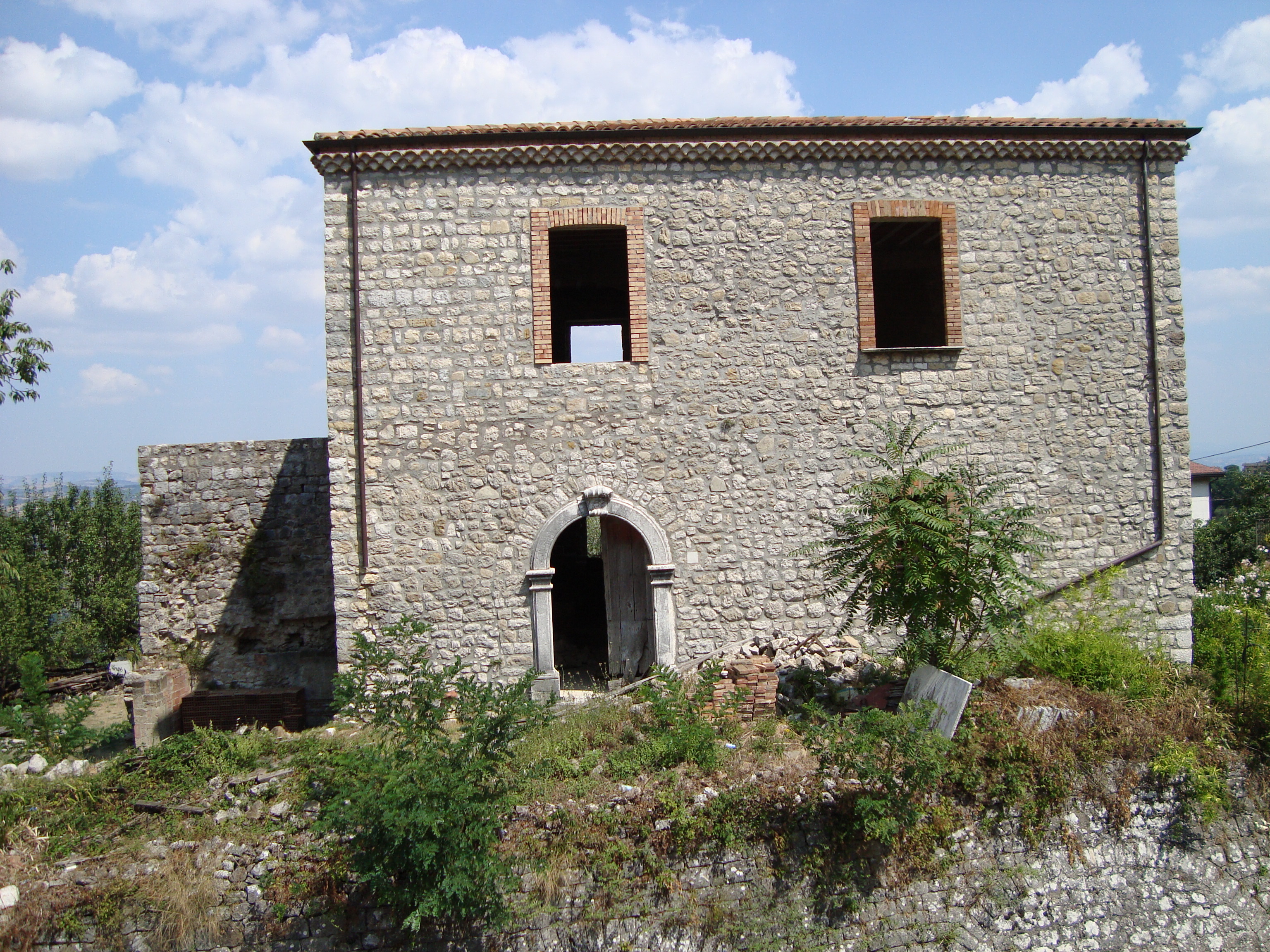
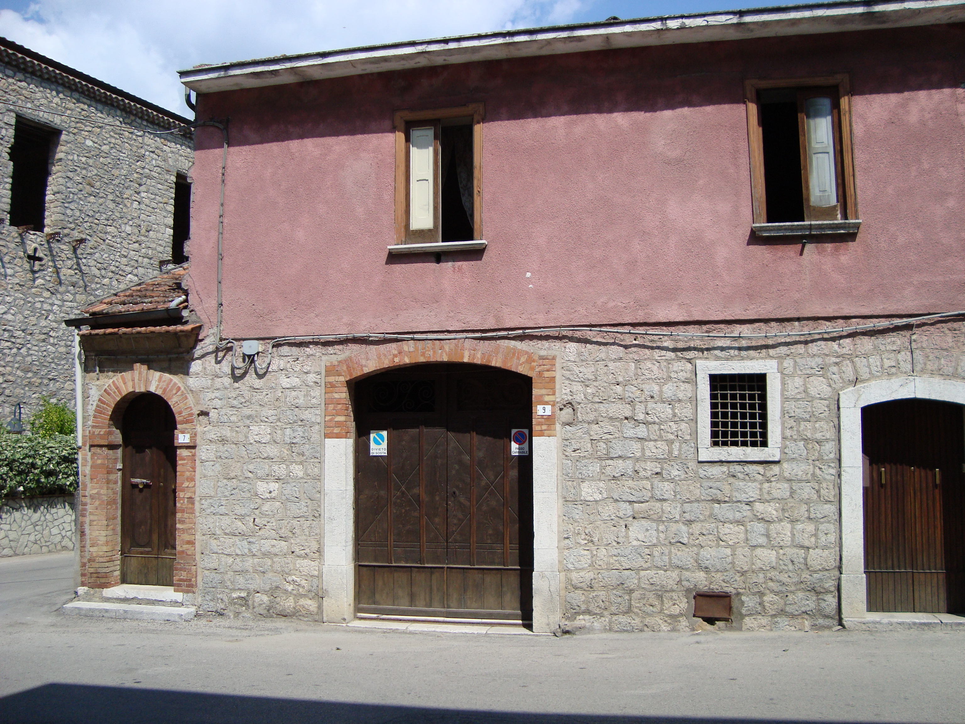
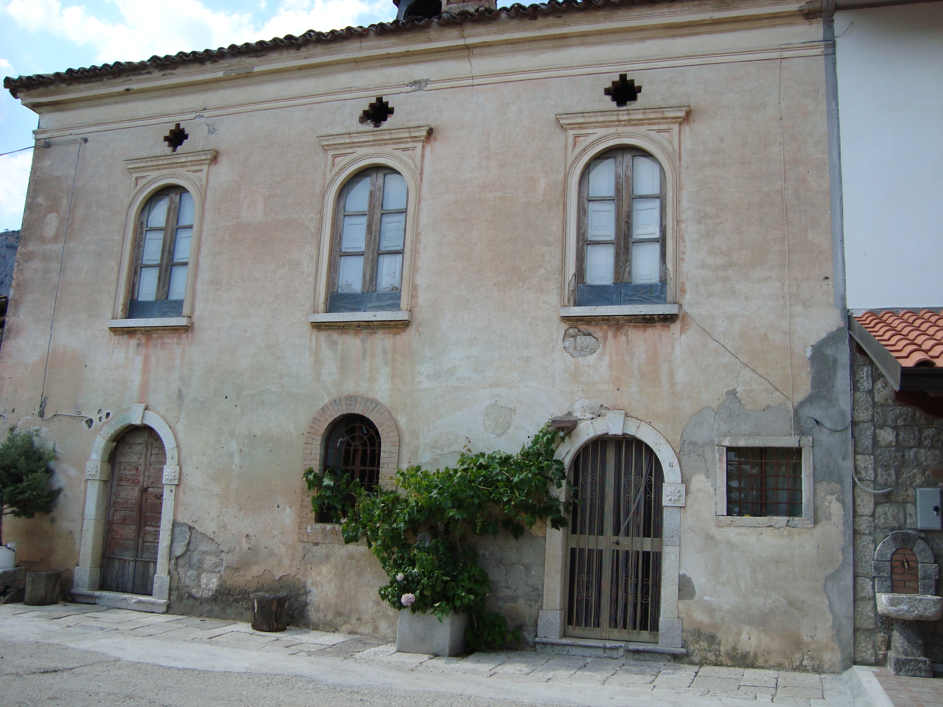
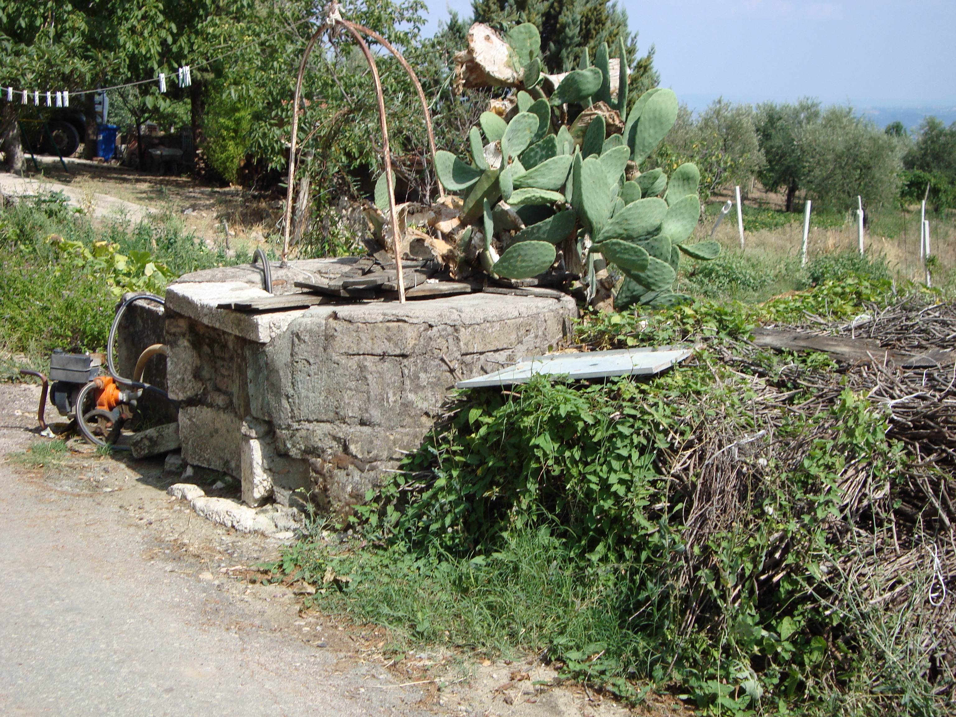
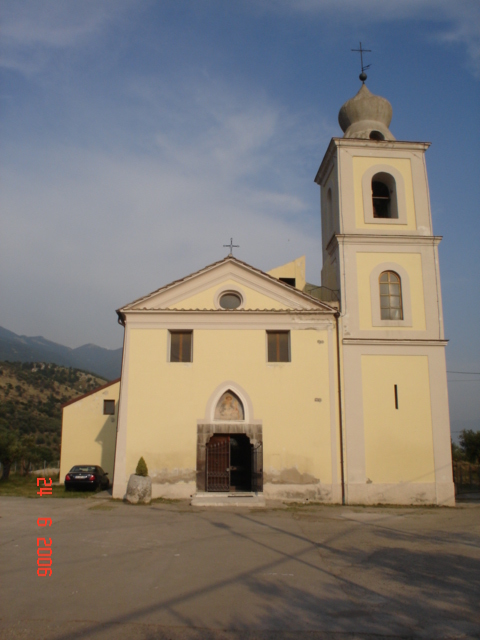
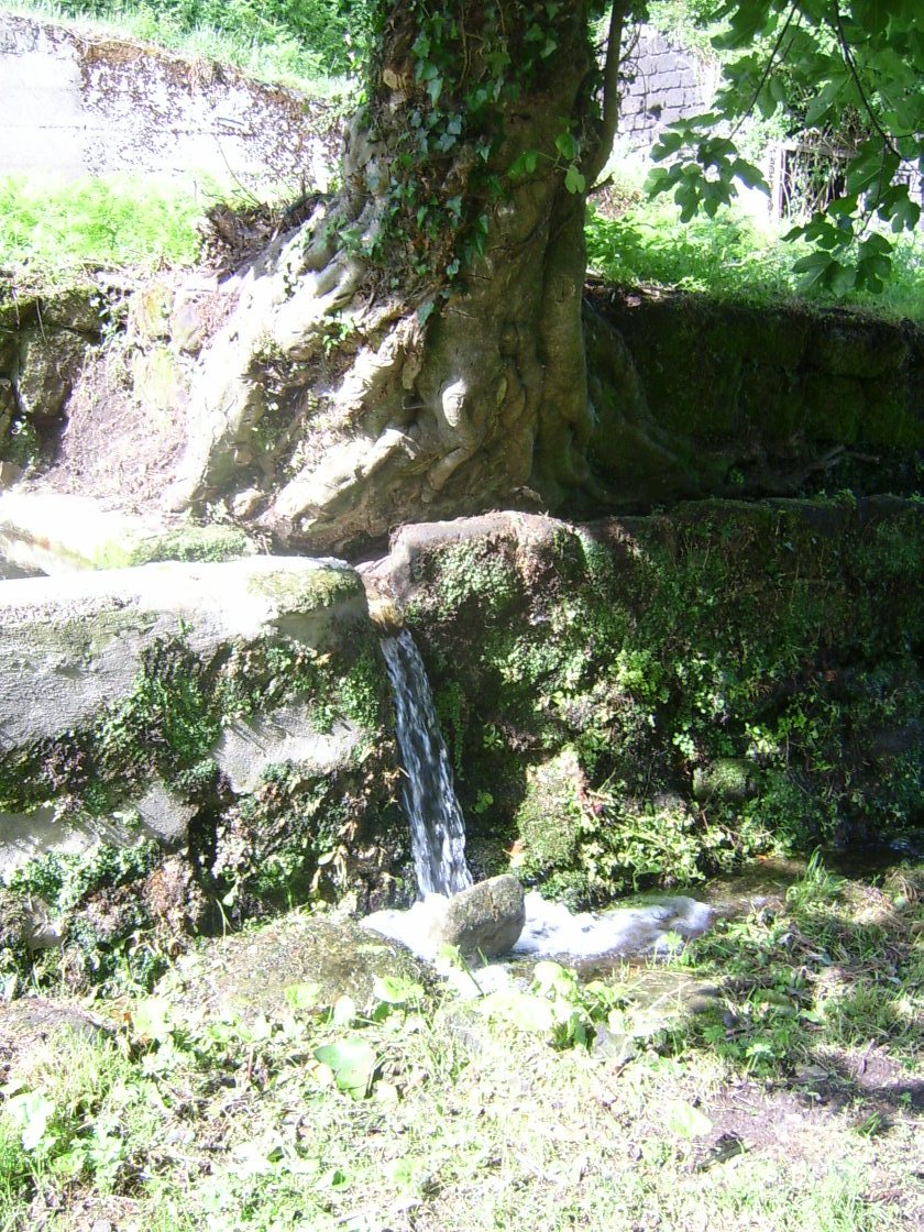
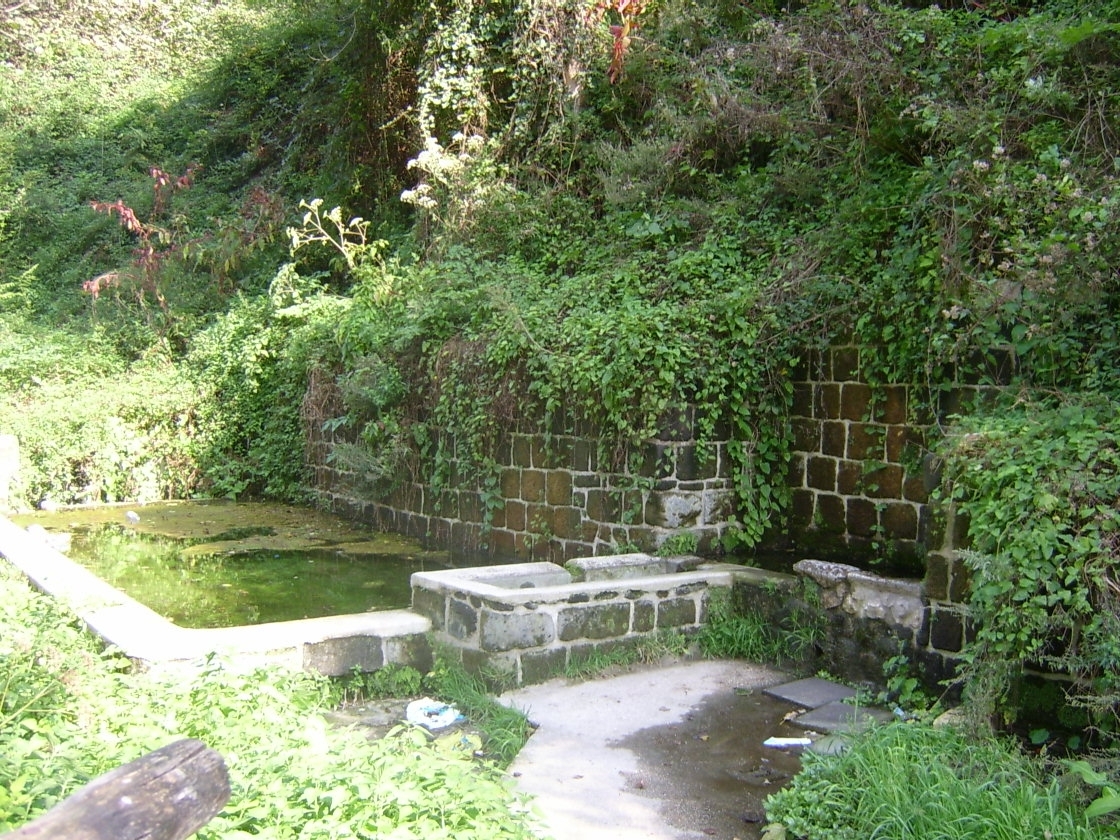
The Parco del Taburno e Camposauro (regional park), (go to the link), with a total area 35583.14 acres wide, is located West of Benevento, which is few kilometres far from and whose region it belongs to. The highest mountains of this regional park are Taburno (1394 mt), Camposauro (1388 mt), and Pentime (1170 mt). Since this massif looks like a women lying down, it is called "Dormiente del Sannio" (the Sannio’s sleeper). The massif is delimited North by Valle del Calore (Calore’s valley), that is Valle Telesina (Telese’s valley) (that separates it from Matese massif) and South by Valle Caudina (Caudina’s valley) (that separates it from Partenio mountain); and East and West by two small rivers, Lenga and Isclero, that flow through the hills sloping smoothly down from the massif. The base of the mountain consists of clays, sandstones, different types of limestones and tuff stones, coming from an aggregation of pyroclastic material from Campi Flegrei, Roccamanfina, and Vesuvius’s volcanoes. At the base of the massif you can basically find plants such as manna-ashes, downy oaks, hornbeams, and maples, while on the North front exposed side you can find holm oaks, beechwoods, pines, hollies, and Aleppo pines. You can also find the silver firs planted with Borbone kings’ will over 900 metres of the massif. The faunal massif situation is not well known, and the last census is dated back to 1987. Anyway, there are no protected or threatened with extinction species. In this park you can find common ravens, woodpeckers, diurnal and nocturnal predators. The census activity concerns about the 15% of the park area which Sant’Agata De’ Goti, Vitulano, Cautano, Solopaca, Torrecuso, Foglianise, Frasso Telesino, Tocco Caudio, Bucciano, and Paupisi towns belong to.
|


